What is recorded here
No visible castle remains in Derrychulla, only an unlocated point on the county map. That absence does not diminish the claim; it widens it. A castle may have stood behind hedge, water or time, giving shelter, imposing tax or witnessing birth and death before disappearing from human memory. The missing building still occupies the region, waiting for a foot, a bone or a forgotten lane to reveal where it kept its people.
The official Northern Ireland record identifies this as CASTLE (unlocated). Recorded period: UNCERTAIN. The official map point was placed at the centre of the recorded archaeological site from the source map reference.
The monument record does not grant public access. Check the route and ask the landowner before entering private land.
- What survives
- Recorded monument
Places near here
 Castle BalfourCastle · 1522 yd
 CASTLE: CASTLE BALFOUR in Castle Balfour DemesneCASTLE: CASTLE BALFOUR · 1529 yd
 HOLY WELL, WELL & CROSS-CARVED STONE: ST RONAN'S & TOBERSHAW in FarranascullogeHOLY WELL, WELL & CROSS-CARVED STONE: ST RONAN'S & TOBERSHAW · 1533 yd
 Holy Trinity ChurchChurch · 1541 yd
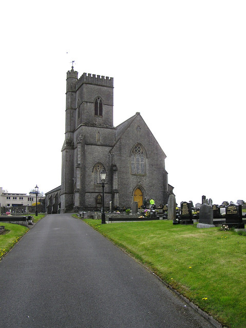 CHURCH in LisnaskeaCHURCH · 1543 yd
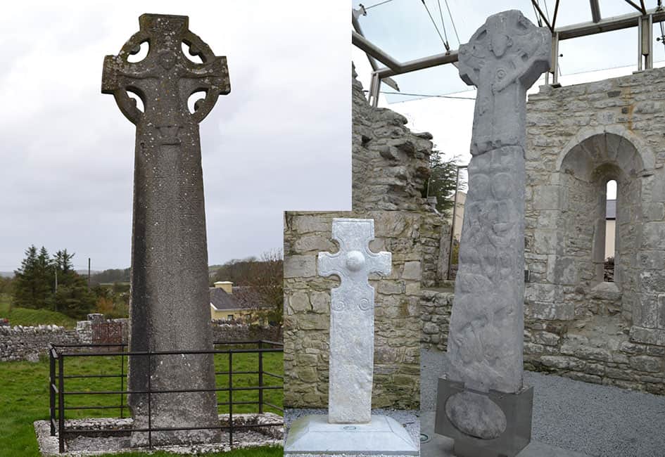 Celtic High CrossHeritage attraction · 1.0 mi
 ENCLOSURE in DerrychaanENCLOSURE · 1.1 mi
 Rabbit IslandIsland · 1.7 mi
 Carrowhony Pet FarmHeritage attraction · 1.8 mi
 InishoreIsland · 1.9 mi
 Inishbeg HillMountain / peak · 3.9 mi
 Toners WoodWood · 4.0 mi