What is recorded here
Woolengrange castle belonged to the Earle of Ormond when the Down Survey marked it out of repair on the east bank of the River Nore. Its exact stones have slipped from the townland, leaving only a vanished line beside the water.
A castle is indicated in ‘Wollensgrange’ townland on the Down Survey (1655-6) barony map of ‘Gowran’ (Hibernia Regnum, courtesy of Trinity College Dublin) and on the parish map of Killerney (NLI MS720). The terrier accompanying the parish map describes, ‘on Woolengrange a Castle out of repaire’, with the proprietor in 1640 listed as ‘The Earle of Ormond’. The castle is located on the E bank of the River Nore, roughly where the river bends westward. The precise location of the castle in this general area of the townland is unknown.
See attached:
KK024-100----_01 extract from Down Survey (1655-6) barony map of ‘Gowran’ (Hibernia Regnum, courtesy of Trinity College Dublin)
KK024-100----_01 Extract from Down Survey (1655-6) parish map of Killerney, in the barony of Gowran, Co. Kilkenny (NLI MS720)
Compiled by: Jean Farrelly
Date of upload: 18 October 2021
The monument record does not grant public access. Check the route and ask the landowner before entering private land.
- What survives
- Recorded monument
Places near here
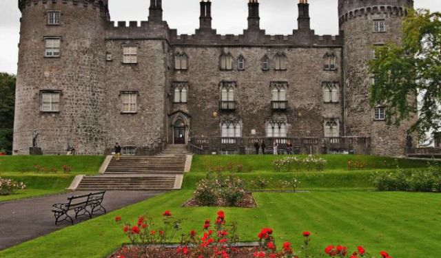 Enclosure in WoolengrangeEnclosure · 268 yd
 Enclosure in Baronsland (gowran By., Woolengrange Ed)Enclosure · 956 yd
 Church (in ruins)Church · 1372 yd
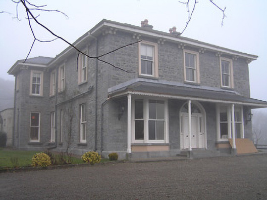 Crohana Housecountry house · 1408 yd
 MarlowWood · 1605 yd
 Annamult Castle (in ruins)Castle, tower house · 1.0 mi
 Tower (in ruins)Bawn · 1.0 mi
 Kilbline GraveyardArchaeological place · 1.2 mi
 Black WalnutBlack Walnut · 1.5 mi
 Time CapsuleMemorial · 1.8 mi
 Tullaherin Church and Round TowerVisitor information · 2.2 mi
 Kells Augustinian PrioryHeritage attraction · 4.2 mi