What is recorded here
Masterson's Tomgarrow appears on a 1656 map but resisted every later attempt to pin it down. The land is charted, the castle is not. That gap is the shape of the place: a room with one wall missing.
A castle is depicted on the Down Survey barony map (1656-8) of Gorey at Tomgarrow (19) in Ballycanew parish. According to the Civil Survey Thomas Masterson owned 380 acres at Tomgarowes, Ballyduffe and Ballywilliamore (Boley) in 1640, but there is no mention of a castle (Simington 1953, 21) The precise location of this mill is not known. For the Down Survey barony map see this web-page accessed on 7 May, 2014: http://downsurvey.tcd.ie/down-survey-maps.php#bm=Gorey&c=Wexford&p=Ballyconnowe
Compiled by: Michael Moore
Date of upload; 21 May, 2012
Amended: 7 May, 2014
Thomas Masterson held land including Tomgarowes in the mid-17th century, and a castle is recorded in the area on the Down Survey map of 1656–58, likely associated with local landholding during the English Confederate Wars period.
The monument record does not grant public access. Check the route and ask the landowner before entering private land.
- What survives
- Recorded monument
Places near here
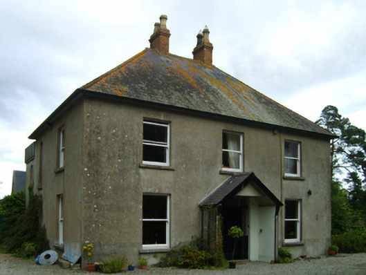 rectory/glebe/vicarage/curate's houserectory/glebe/vicarage/curate's house · 1194 yd
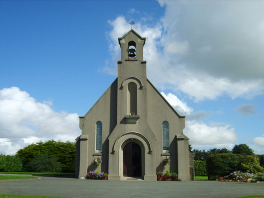 Saint Moling's Catholic Churchchurch/chapel · 1199 yd
 Boley HillMountain / peak · 1.2 mi
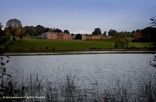 Embanked enclosureFairy fort / ringfort · 1.2 mi
 Barnadown WoodWood · 1.4 mi
 Enclosure in Ballyduff (gorey By., Ballycanew Ed)Enclosure · 1.6 mi
 Ballyminaun HillMountain / peak · 2.8 mi
 Giants BedNamed rock · 3.5 mi
 The GroveWood · 4.4 mi
 1798 MonumentMemorial · 4.6 mi
 Shrule Deer FarmHeritage attraction · 4.8 mi
 Market HouseHeritage attraction · 4.9 mi