What is recorded here
Castle, unclassified in Rower More stands behind Rower More and still belongs to the living area. You can meet it through the name, the visible remains, the linked people and the events already given. The archive removes one layer of distance; it does not claim to make the dead speak.
The precise location of a castle in the townland of Rowermore has not been identified. Westropp (1906-7, 165) recorded the following details about Rowermore Castle; 'The tithes of Roer were granted to Warham St. Leger, and in 1595 to Sir H. Wallop (Fi. 1143, 4757, 5964). 1599 Scene of an ambuscade and a fierce attack on the advanced guard of Essex by Desmond's soldiers (A.F.M.; C.S.P.I.). 1657 Rewrmore C[astle]. N.[icholas] Lillies (D.S.A., 49; C.S., xxiv., p. 41). 1669 C[astle]. granted to G. Evans (Act Sett.)'. Tower House like castle standing on top of a hill on the 17th century Down Survey map of Coshma Barony (Hib. Reg.) and on the Down Survey map of Ballingaddy Parish (NLI Ms. 718).
Compiled by: Caimin O'Brien
Date of upload: 4 December 2020
The monument record does not grant public access. Check the route and ask the landowner before entering private land.
- What survives
- Recorded monument
Places near here
 OutlinedEnclosure · 287 yd
 Coolah Bridgebridge · 664 yd
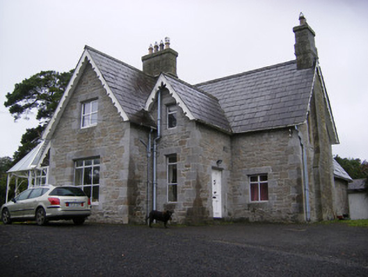 Cregaun Househouse · 837 yd
 Knockannaholla Grave YardBurial ground · 1371 yd
 Garraunboy CastleCastle · 1646 yd
 Clonshire CastleCastle · 1.2 mi
 KnocknagowerNamed rock · 1.5 mi
 Adare Tourist OfficeVisitor information · 1.6 mi
 Desmond CastleHeritage attraction · 2.0 mi
 Adare Desmond CastleMedieval castle · 2.0 mi
 European YewEuropean Yew · 2.0 mi
 GinkgoGinkgo · 2.0 mi