What is recorded here
Castle in Redbog, County Carlow. It appeared on the Down Survey map of 1655-6 but vanished from every later record. The castle may have fallen into a ravine or been dismantled for building stone. Its absence is the most honest part of the story.
The following description is derived from the published 'Archaeological Inventory of County Carlow' (Dublin: Stationery Office, 1993). In certain instances the entries have been revised and updated in the light of recent research.
Date of upload/revision: 17 July 2007
Castle shown here on Down Survey (1655-6) map. The precise location of this castle within the townland of Redbog is unknown.
The monument record does not grant public access. Check the route and ask the landowner before entering private land.
- What survives
- Recorded monument
Places near here
 Springfield HouseRuins · 1.3 mi
 Clonmore MoatCastle, motte and bailey · 1.3 mi
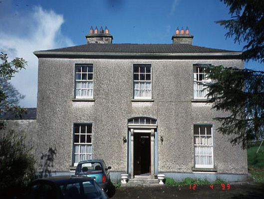 Minvaud Housefarm house · 1.4 mi
 Cross in Glebe (rathvilly By.)Cross · 1.6 mi
 KilcromerFairy fort / earthen ringfort · 1.6 mi
 Clonmore Castle (in Ruins)Castle, Anglo-Norman masonry castle · 1.8 mi
 Eagle HillMountain / peak · 2.2 mi
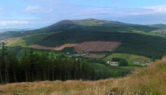 Mangan's WoodForest · 2.8 mi
 Ballycumber HillMountain / peak · 2.9 mi
 Luke O'Toole MemorialMemorial · 3.6 mi
 Church (in ruins), GraveyardChurch · 3.8 mi
 Sweet ChestnutSweet Chestnut · 3.9 mi