What is recorded here
Rathnaleen holds two unlocatable castle stumps beside nine cabbins, reducing ancient local ambition to irreparable ruins before the Civil Survey of 1654-6. That bare enumeration suggests a divided or forgotten settlement rather than a single grand house. The true identity of either stump has escaped every later attempt to separate them.
Unlocated castle within townland, depicted on the Down Survey maps as a castle, mentioned in the Civil Survey (1654-6) as 'Upon the said lands stands two old stumps of Castles irrepairable & nine Cabbins', (Simington 1934, vol. 2, 256). This may have been one of the aforementioned castles.
The above description is derived from 'The Archaeological Inventory of County Tipperary. Vol. 1 - North Tipperary' compiled by Jean Farrelly and Caimin O'Brien (Dublin: Stationery Office, 2002). In certain instances the entries have been revised and updated in the light of recent research.
Date of upload/revision: 22 September 2008
The monument record does not grant public access. Check the route and ask the landowner before entering private land.
- What survives
- Recorded monument
Places near here
 Rathnaleen CastleCastle · 424 yd
 RathnaleenFairy fort / earthen ringfort · 473 yd
 Shean FortsFairy fort / earthen ringfort · 847 yd
 Lisbunny CastleCastle, hall-house · 1473 yd
 Lisbunny ChurchChurch · 1537 yd
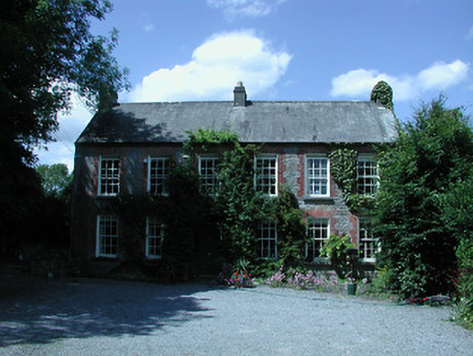 Riverston Millsteward's house · 1583 yd
 Old BarracksHeritage attraction · 1.2 mi
 Nenagh Heritage CentreMuseum · 1.5 mi
 James Devaney MemorialMemorial · 1.9 mi
 Gibbet HillMountain / peak · 2.9 mi
 Knigh HillMountain / peak · 3.9 mi
 Ballycapple WoodForest · 4.4 mi