What is recorded here
Nash castle vanished before records completed, leaving only a wide fosse, a well, and Colclough’s name behind. It may have stood as a small defensive house for a wealthy landowner, or it may have crashed into the earth during turmoil and been forgotten. Either way, the land remembered the shape of the moat long after the stones stopped being easy to find.
According to the Civil Survey (1654-6) a ‘decayed castle’ and 360 acres in Nash were owned by Sir Caesar Colclough of Tintern (WX045-027002-) in 1640. He also owned land in every townlnad in Owenduff parish except Corderraun, amounting to 2160 acres in total (Simington 1953, 179). The site of the castle is not known, but according to Jeffrey (1979, 167) it was surrounded by a wide and deep fosse with a well nearby.
Compiled by: Michael Moore
Date of upload: 17 October, 2012
Sir Caesar Colclough of Tintern held a 'decayed castle' in Nash around 1640, as recorded in the Civil Survey. His extensive landholdings in the area highlight his local influence in early 17th-century Ireland.
The monument record does not grant public access. Check the route and ask the landowner before entering private land.
- What survives
- Recorded monument
Places near here
 Church (Site Of)Ruins · 872 yd
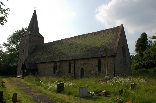 Site of ChurchChurch · 880 yd
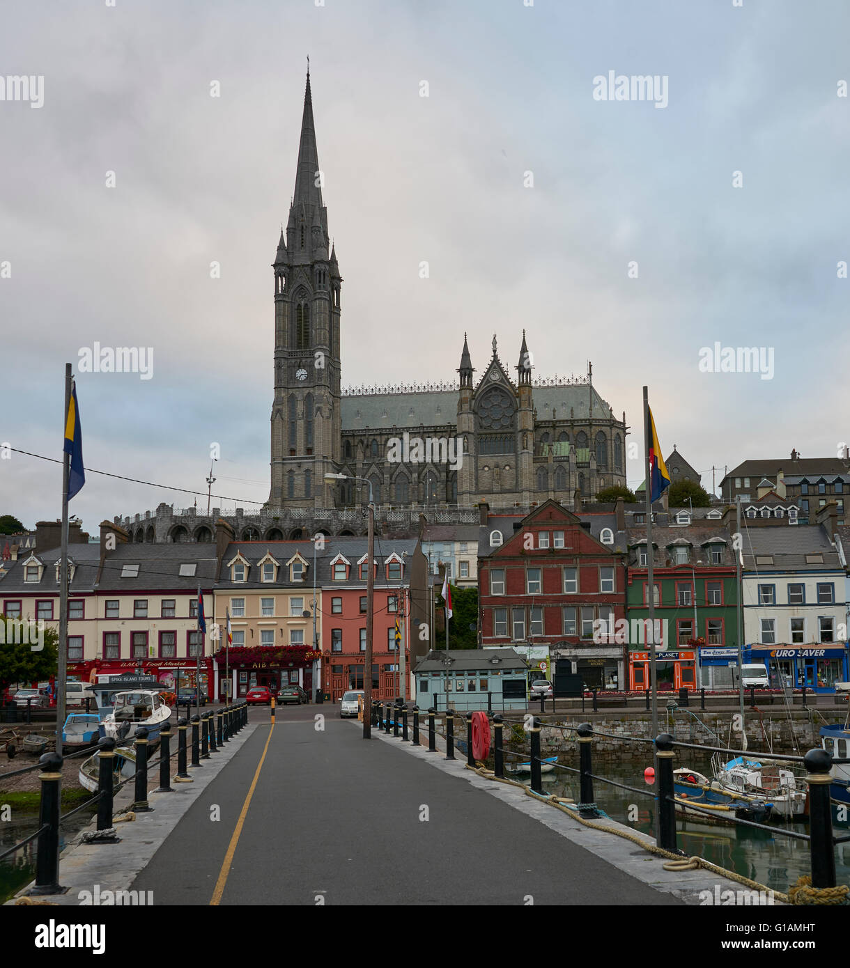 St. Colemans WellHoly well · 954 yd
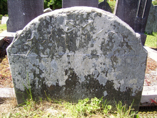 graveyard/cemeterygraveyard/cemetery · 1580 yd
 Castle (in ruins)Castle, tower house · 1.3 mi
 CastleCastle, unclassified · 1.4 mi
 SlievecoiltiaMountain / peak · 2.9 mi
 Devon whitebeamDevon whitebeam · 3.6 mi
 Carrickbyrne HillMountain / peak · 4.4 mi
 Kennedy HomesteadHeritage attraction · 5.0 mi
 Forest Of The DunbrodyForest · 5.0 mi
 Crutched FriarsMemorial · 5.4 mi