What is recorded here
Mullingar still hides three old castles beneath its western square, though no stone now marks their exact limits. Richards drew them in 1691 and Piers called them fashionable in 1682, but human greed or neglect turned them into ordinary houses. The town swallowed their shape, keeping only a gap in its own memory.
Richards 1691 map of Mullingar shows three 'Old Castles' (WM019-089032-/045-) on the S side of Main Street (The Square) at the W end of the town. The precise location of this castle within the historic town of Mullingar (WM019-089----) has not been identified (Andrews and Davies 1992, 10). No surface remains visible of any castles located in The Square at the W end of Main Street (Oliver Plunkett St.) in Mullingar town (WM019-089----) (Andrews and Davies 1992, 10). In 1682 Sir Henry Piers recorded that in the town of Mullingar (WM019-089----) there were, ‘ancient buildings here [that] were old fashionable castles (WM019-089001-; WM019-089008-; WM019-089010-; WM019-089029-; WM019-089030-; WM019-089032-), some of which remain yet, and some are demolished, and better or at least more commodious houses are built in their room’ (Vallancey 1786, 78).
See attached image of a group of 3 castles annotated as Building D [Old Castles] and located on the S side of The Square as shown on Richards Map of 1691 - taken from Irish Historic Towns Atlas of Mullingar (Andrews and Davies 1992, Map 4).
Compiled by: Caimin O'Brien
Date of upload: 1 July 2014
The monument record does not grant public access. Check the route and ask the landowner before entering private land.
- What survives
- Recorded monument
Places near here
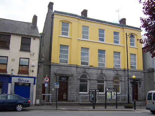 Bank of Irelandbank/financial institution · 14 yd
 CastleCastle, unclassified · 26 yd
 Famine MemorialMemorial · 46 yd
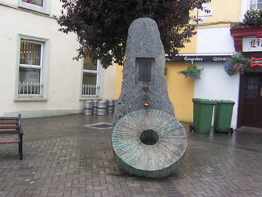 Famine Memorial Fountainmonument · 50 yd
 The Chimera GalleryGallery · 68 yd
 Site of CastleCastle, unclassified · 94 yd
 Joe DolanMemorial · 213 yd
 Courthouse in MullingarCourthouse · 245 yd
 Mullingar Cathedral MuseumMuseum · 333 yd
 Town defences in MullingarTown defences · 435 yd
 Saint Brigid's WellSpring · 1.7 mi
 Lady's IslandWood · 2.7 mi