
What is recorded here
Carrigan linked the site to the 12th or 13th-century castle of Tullabarry, but no castle remains are visible beside the motte. The slope faces the River Nore, gives wide views toward the west and south, and leaves the rest in shadow. Any chamber, guard room or lived wall there must have surrendered its shape to grass, water and time.
Midway down a gentle NE-facing slope, on the E bank of the River Nore, in an area of undulating pasture. There are fine views from W-N-SE, otherwise views are limited by rising ground. This may be the 12th/13th-century castle of Tullabarry mentioned by Carrigan (1905, vol. 2, 87). Carrigan (ibid. 89) speculates that a masonry castle may have stood on the summit of the motte (KK005-023001-). The remains of a masonry castle are not visible on the summit of the motte or in the immediate vicinity.
Compiled by: Jean Farrelly
Date of upload: 8 May 2017
Built in the 12th or 13th century, this castle's strategic location on the River Nore provided control over local trade and movement, making it a significant defensive position for its holders during medieval conflicts.
The monument record does not grant public access. Check the route and ask the landowner before entering private land.
- What survives
- Recorded monument
Places near here
 Moat Castle (site of)Archaeological place · 10 yd
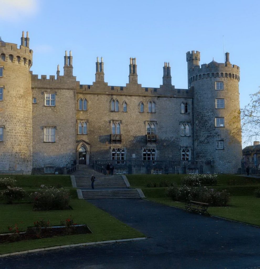 Enclosure in BallyconraEnclosure · 371 yd
 Ballyconra Hall (site of)Archaeological place · 646 yd
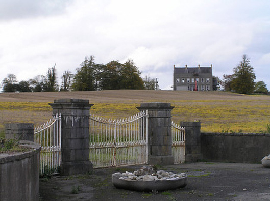 Ballyconra Housegates/railings/walls · 1237 yd
 Anker's IslandIsland · 1538 yd
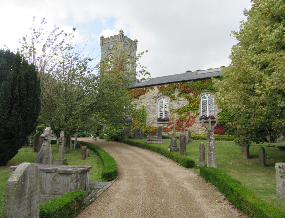 Church in BallyconraChurch · 1544 yd
 Graveyard in SraleaghGraveyard · 1646 yd
 Ballyragget Cas.Castle, tower house · 1.2 mi
 Donaghmore WellSpring · 1.9 mi
 1798 MonumentMemorial · 5.0 mi
 Jenkinstown ParkWood · 5.4 mi
 Red horse-chestnutRed horse-chestnut · 5.5 mi
Other information
Photo: Credit not shown in the picture search · Rights wording not checked; contact us if this picture should be removed