What is recorded here
A small tower is shown at Belgooly on the Down Survey (1655-6) barony map . Nothing seems to be known of this structure and its precise location is not known. A mill (CO112-066----) is shown to the S of the tower on the same map.
The above description is derived from 'The Archaeological Inventory of County Cork. Volume 5' (Dublin: Stationery Office, 2009).
Date of upload: 22 December 2009
The monument record does not grant public access. Check the route and ask the landowner before entering private land.
- What survives
- Recorded monument
Places near here
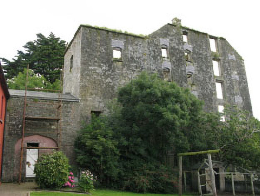 mill (water)mill (water) · 749 yd
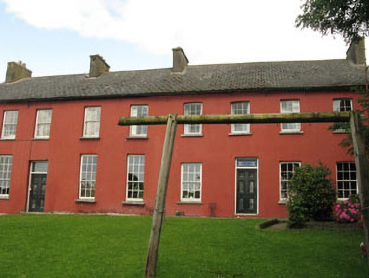 Belgooly Housemill manager's house · 762 yd
 IndicatedHoly well · 1303 yd
 Pallastown WoodWood · 1.1 mi
 CastleCastle, unclassified · 1.2 mi
 Fort (Site of)Fairy fort / earthen ringfort · 1.8 mi
 St Laitiarain's WellSpring · 1.9 mi
 Cullen Castle (Site of)Castle, unclassified · 2.0 mi
 Curra WoodForest · 2.1 mi
 Graveyard in ArdbrackGraveyard · 2.9 mi
 Dermot Ryan's Heritage Town WalksHeritage attraction · 3.2 mi
 Tim & Mortimer McCarthy MemorialMemorial · 3.2 mi