What is recorded here
Lisnagree Castle vanished before human memory, leaving only a faint mark on a 1655 survey while every later map pretended it never existed. In County Westmeath, forgetting is not loss but transformation: the stones may have become soil, or the whole castle may have been a boundary drawn in ink rather than mortar. Either way, the land kept the shape long enough for one cartographer to see it, then took the shape back.
The precise location of Lisnagree Castle has not been identified. The castle is depicted on the 1655 Down Survey map of Kilcumreragh parish (NLI, MS 723-4). The castle is not depicted on any edition of the OS 6-inch maps.
Compiled by: Caimin O'Brien
Date of upload: 13 October 2016
Lisnagree Castle was likely built in the 17th century, as evidenced by its appearance on the 1655 Down Survey map. Its exact builder and current status remain unknown, but it is remembered as a historical landmark in Kilcumreragh parish.
The monument record does not grant public access. Check the route and ask the landowner before entering private land.
- What survives
- Recorded monument
Places near here
 OutlinedFairy fort / earthen ringfort · 383 yd
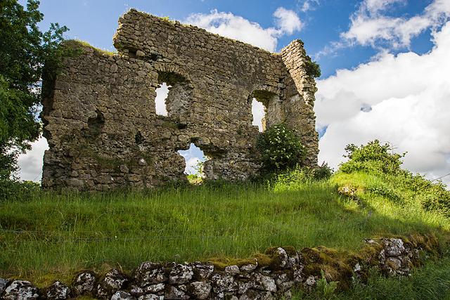 Laragh CastleCastle · 910 yd
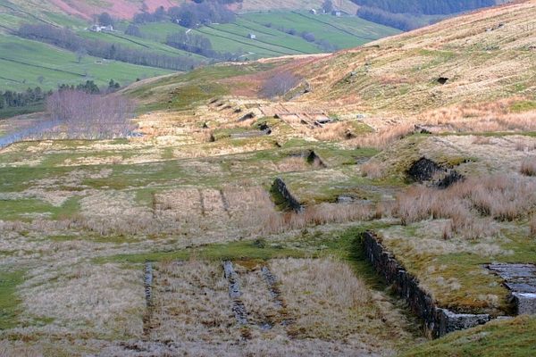 Partially hachuredFairy fort / earthen ringfort · 1125 yd
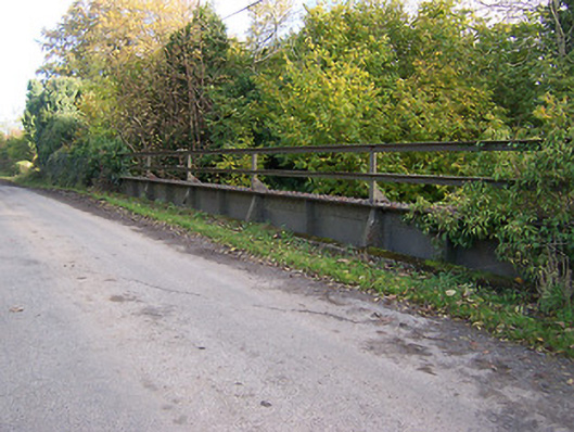 bridgebridge · 1256 yd
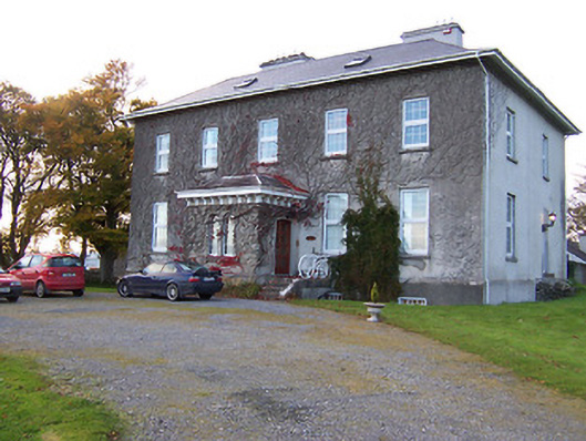 Streamstown Housecountry house · 1269 yd
 KnockastiaMountain / peak · 1.4 mi
 Syonan CastleCastle · 1.6 mi
 Sam's ParkForest · 1.9 mi
 Japanese pagoda treeJapanese pagoda tree · 1.9 mi
 Kilmalady HillMountain / peak · 3.9 mi
 ToberaskeenSpring · 5.3 mi
 Dún na Sí Heritage CentreMuseum · 5.9 mi