What is recorded here
Knockea may never have worn a castle at all, although Chonnock gave a quarter of a knight’s fee to William Maunsel in 1247 and Philip Furlong in 1307. The name drifted through Chonnock, Connagh and Balycoynner while people imagined walls that may never have stood. What is certain is that the land belonged to someone, was measured in feudal shares and still carries the shape of that forgotten arrangement.
Chonnock was held by a quarter of a knight’s fee by William Maunsel in 1247 and by Philip Furlong in 1307 from the Bigod lands (Brooks 1950, 17). Hore (1900-11, vol. 1, 169) identifies Chonnock as Knockea, although Orpen (1904, 355) identifies the townland of Connagh in Fethard parish as a place called Balycoynner in the feodaries. It is not certain that there was ever a castle at Knockea, which was owned by William Barron of Killesk (WX039-034001-) in 1640, according to the Civil Survey (1654-6) (Simington 1953, 189), or at Conaagh (ibid. 173), which was owned by Nicholas Loftus of Fethard (WX050-011003-) in 1640 but there is no mention of a castle at either location.
Compiled by: Michael Moore
Date of upload: 29 January, 2013
William Maunsel held Knockea Castle in 1247 and Philip Furlong in 1307, both holding a quarter of a knight’s fee from the Bigod lands. It is remembered for its association with medieval land tenure and the Bigod family's influence in the region.
The monument record does not grant public access. Check the route and ask the landowner before entering private land.
- What survives
- Recorded monument
Places near here
 bridgebridge · 766 yd
 Mass Stone (Site of)Mass-rock · 1190 yd
 Enclosure in DunmainEnclosure · 1206 yd
 Castle (in ruins)Castle, unclassified · 1262 yd
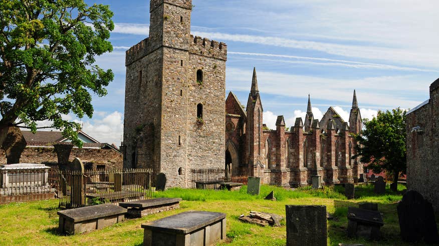 Church (Site of)Ruins · 1273 yd
 Rathumney Castle (in ruins)Castle, hall-house · 1.0 mi
 Tinnock RockNamed rock · 1.4 mi
 Arboretum MapVisitor information · 1.8 mi
 Ash CollectionVisitor information · 1.8 mi
 Silver WattleSilver Wattle · 1.9 mi
 The John F. Kennedy ArboretumForest · 2.0 mi
 Campile WWII Bombing MemorialMemorial · 2.0 mi