What is recorded here
Castlelost Parish, County Westmeath: Collinstowne Castle stood upon lands later split into Kiltotan, Collinstown, Farthingstown and Oldtown. In 1640 Thomas Tirrell held the lands and castle, but boundary changes erased its exact corner. A castle can vanish from ownership, not from memory: water, stone and household labor still shaped that lost place.
The 1657 Down Survey parish map of Castlelost depicts Collinstowne Castle (NLI, MS 723-4) which may be located in the present townland of Oldtown as the townland boundaries of Collinstown have changed since the Down Survey. Alternatively the castle may be located in the present townland of Kiltotan and Collinstown close to the E townland boundary with Farthingstown. The terrier of the parish map states that ‘upon the lands of Collinstowne stands a Castle’. In 1640 the lands and castle of Collinstown belonged to Thomas Tirrell [Tyrrell], who is recorded in the Down Survey as an Irish papist. The precise location of this castle has not been identified.
Compiled by: Caimin O'Brien
Date of upload: 9 July 2013
Collinstown Castle, possibly located in Oldtown, was likely built in the 17th century, with references appearing on the 1657 Down Survey map. It is remembered as part of the historical landscape of Castlelost and reflects the period's patterns of land ownership and settlement in the region.
The monument record does not grant public access. Check the route and ask the landowner before entering private land.
- What survives
- Recorded monument
Places near here
 Partially hachuredEnclosure · 314 yd
 CastleCastle, unclassified · 345 yd
 Castlelost MoatCastle, motte and bailey · 391 yd
 Church (in Ruins)Church · 581 yd
 Ecclesiastical enclosure in CastlelostEcclesiastical enclosure · 582 yd
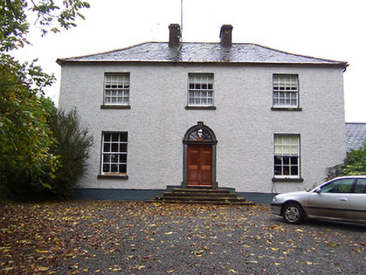 Far View Househouse · 1312 yd
 Derrygreenagh HillMountain / peak · 3.4 mi
 Mollie Moo's Pet FarmHeritage attraction · 3.9 mi
 Belvedere house and gardensVisitor information · 4.3 mi
 Knockdrin HillMountain / peak · 4.3 mi
 Blind IslandIslet · 4.5 mi
 Dysart IslandIsland · 5.0 mi