What is recorded here
Killinure Castle belonged to the Fitzpatricks and kept a musket turret inside a ten-foot wall before men demolished it around 1800. The new house took its place, yet the old turret, broken wall and rough pavement still mark the ground where firearms and feet once moved.
Unlocated castle within townland described by Carrigan as there was formerly a castle or important building on the rising ground of Killanure, to the left of the road to Roundwood. It stood within an area of haf an Irish acre, enclosed by a strong thick wall, about 10ft. High, and defended on at least one corner, by a flanking turret pierced for musketry. It belonged to a family of the Fitzpatricks. About the year 1800 the old residence was taken down to the ground and a new one, now occupied by a person named Abbot, built on its site. At present the only remains of antiquity around the place are a a turret, part of the enclosing wall, and a pavement of large rough stones (Carrigan 1905, 152).
Compiled by: Caimin O'Brien
Date of upload: 17 December 2007
The monument record does not grant public access. Check the route and ask the landowner before entering private land.
- What survives
- Recorded monument
Places near here
 Font (present location) in Killinure (upperwoods By.),mountainfarmFont (present location) · 1098 yd
 Font in Killinure (upperwoods By.)Font · 1504 yd
 Monicknew Bridgebridge · 1.5 mi
 Roundwood Housecountry house · 1.6 mi
 BaunreaghcongMountain / peak · 2.5 mi
 Sitka SpruceSitka Spruce · 2.7 mi
 Slieve Bloom MountainsMountain range · 3.7 mi
 Castle in ruins, Red Castle FortCastle, unclassified · 4.4 mi
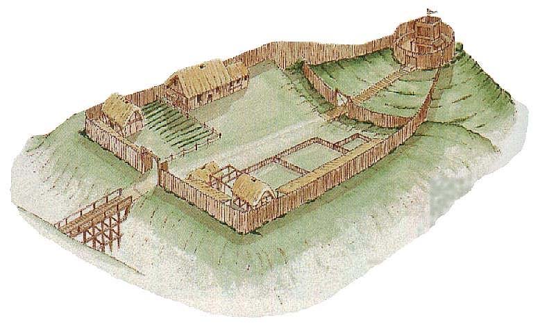 CastleCastle, motte and bailey · 4.8 mi
 ArderinMountain / peak · 5.1 mi
 SycamoreSycamore · 5.4 mi
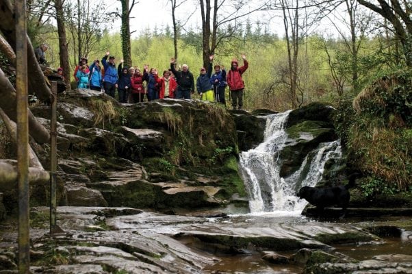 Slieve Bloom WayWalking route · 5.5 mi