What is recorded here
Kilderry Castle vanished before it was named, leaving only a dead man and a ruined hole in the earth. John O'Cahisse held that lost stone in 1584 until rebellion took his life, but even then the walls were so broken they may have been little more than a shadow. The townland keeps his name and the castle's absence, forcing every searcher to walk past the place where memory stopped giving up coordinates.
The precise location of a castle in the townland of Kilderry has not been identified. Westropp (1906-7, 152) recorded the following details about Kilderry Castle; '1584 J. O'Cahisse (Casey), slain in rebellion, held the C[astle]. very ruinous (Des. R., 71; Peyton 214b).
Compiled by: Caimin O'Brien
Date of upload: 4 December 2020
John O'Cahisse (Casey) held Kilderry Castle in 1584 but was slain during a rebellion. The castle is remembered for its association with the local Gaelic family and the political tensions of the late 16th century in Munster.
The monument record does not grant public access. Check the route and ask the landowner before entering private land.
- What survives
- Recorded monument
Places near here
 Hachured - Externally indicatedFairy fort / earthen ringfort · 623 yd
 RoadRoad, road/trackway · 673 yd
 Field system in Kilderry (pubblebrien By.),kilderry (smallcounty By.)Field system · 895 yd
 Dotted outlineBawn · 1421 yd
 (Site of) Garryellen CastleCastle, unclassified · 1427 yd
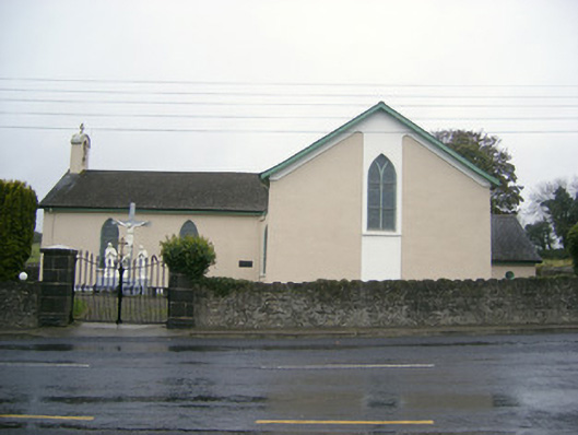 Catholic Church of Saint John the Baptistchurch/chapel · 1.0 mi
 Villiers WellSpring · 1.1 mi
 Carnane RockNamed rock · 1.6 mi
 European ashEuropean ash · 2.1 mi
 Monasteranenagh AbbeyHeritage attraction · 3.0 mi
 Grange Stone CircleArchaeological place · 4.5 mi
 Biodiversity in the Maigue CatchmentVisitor information · 4.5 mi