What is recorded here
Strafford mapped Drumalgagh Castle around 1636 after Clanrickard took nunnery land in Moycarn, yet no walk has found its stones. The place may be a buried room, a broken bank or a mistaken line on a map. It keeps that much from men: to be known only through the hands that owned it.
A castle at Drumalgagh had been lost before 1596 to the rebellious Irish (Cronin 1980, 117). The castle is depicted on the Strafford map of c. 1636, and the Earl of Clanrickard owned 357 profitable acres and 147 unprofitable acres there in 1641 (Simington 1949, 63, Moycarn). This included the land of the nunnery (RO056-004001-), which suggests that much of the land that Clanrickard owned in Moycarn barony had belonged to the nuns at the Suppression (c. 1540) and he probably built the castle after that date. The Drumalgagh lands were confirmed to the Earl and a Francis Coghlan in the 1660s (ibid.). The castle was not encountered.
Compiled by: Michael Moore
Date of revised upload: 24 August 2010
The castle at Drumalagagh was held by the Earl of Clanrickard in the early 17th century and is remembered for its depiction on the Strafford map of around 1636, marking its presence during a period of English colonial administration in Ireland.
The monument record does not grant public access. Check the route and ask the landowner before entering private land.
- What survives
- Recorded monument
Places near here
 Church (in Ruins)Religious house, Augustinian, of Arrouaise nuns · 437 yd
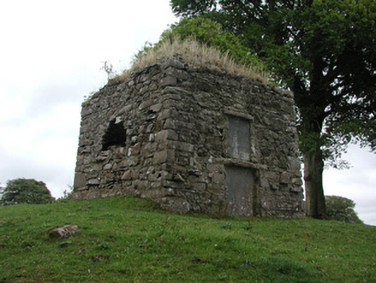 St. George Mausoleummausoleum · 461 yd
 Tonvee CastleCastle, unclassified · 1.1 mi
 Split HillMountain / peak · 1.1 mi
 Tully CastleArchaeological place · 1.2 mi
 Embanked enclosureFairy fort / earthen ringfort · 1.6 mi
 Holy StoneCross, Wayside cross · 1.8 mi
 Sugarloaf HillMountain / peak · 2.6 mi
 Long IslandIsland · 2.8 mi
 Devenish IslandIsland · 3.1 mi
 Shannonbridge - Nearby AttractionsVisitor information · 3.1 mi
 HawthornHawthorn · 4.4 mi