What is recorded here
Castle, unclassified stands in Corradooey, County Longford. A castellated tower house appears on the Down Survey map of Templemichael parish near the Camlin River. The exact spot has never been identified, so the castle remains a shadow on paper rather than a shape in the field.
A castellated tower house is depicted on the Down Survey (1655–6) map of Templemichael parish (NLI, MS 719) in the N sector of the townland, close to the Camlin River. Its precise location has not been identified.
Compiled by: Patrick F. O'Donovan
Date of upload: 3 October 2012
A castellated tower house at Corradooey is recorded on the 1655–56 Down Survey map, likely held by a local Gaelic or Anglo-Irish family during the 17th century. It is remembered as part of the defensive and territorial landscape of early modern Ireland.
The monument record does not grant public access. Check the route and ask the landowner before entering private land.
- What survives
- Recorded monument
Places near here
 Enclosure in CorradooeyEnclosure · 205 yd
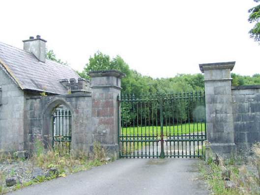 Carrigglas Manorgates/railings/walls · 454 yd
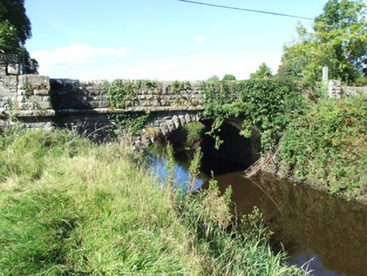 Carrigglas Bridgebridge · 704 yd
 Fulacht fia in LisnamuckFulacht fia · 1698 yd
 Saint Mel's CathedralCathedral · 2.1 mi
 Bawn in AbbeycartronBawn · 2.2 mi
 First World War MemorialMemorial · 2.3 mi
 CastleCastle, Anglo-Norman masonry castle · 2.7 mi
 Graveyard in Curry (ardagh By., Coolamber Ed)Graveyard · 4.9 mi
 Commons North WalkVisitor information · 11 mi
 Wild birdsVisitor information · 11 mi
 White Sand WoodWood · 11 mi