What is recorded here
Castle, unclassified, Coolnagree, County Wexford. A castle is marked on a Down Survey map (1655-6) at Coolnagree. There are no other references to this structure and its precise location is not known, although it is possible that the castle at Doonooney (WX031-028----) is intended.
A castle is marked on a Down Survey map (1655-6) at Coolnagree. There are no other references to this structure and its precise location is not known, although it is possible that the castle at Doonooney (WX031-028----) is intended.
See the attached section of the Down Survey parish map (N at top left) reproduced courtesy of the National Library of Ireland
Compiled by: Michael Moore
Date of upload: 28 August, 2012
The monument record does not grant public access. Check the route and ask the landowner before entering private land.
- What survives
- Recorded monument
Places near here
 Church (in ruins)Church · 828 yd
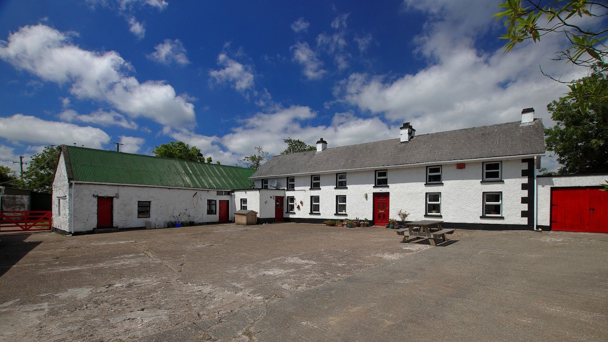 Embanked enclosureFairy fort / earthen ringfort · 899 yd
 (Site of) Doonoonen CastleCastle, motte · 968 yd
 IndicatedFairy fort / ringfort · 1299 yd
 farm housefarm house · 1.1 mi
 Camaross HillMountain / peak · 1.5 mi
 Raheennahoon HillMountain / peak · 1.6 mi
 Glenour MonumentMemorial · 2.2 mi
 (Site of) CastleCastle, unclassified · 2.5 mi
 Dick Joynt MemorialMemorial · 3.9 mi
 King's IslandIsland · 5.1 mi
 Battle Of The Three RocksMemorial · 6.6 mi