What is recorded here
Castle in Coolagherty may be Baile Nui, taken by Geoffry O'Ferral in 1295 and still marked in ruins on Edgeworth's 1831 map. It has no clear remains, local name or certain boundary, which is why it resists classification. What is known is that a castle stood there, was fought over, fell into ruin and disappeared from ordinary memory.
McNamee (1945, 26) suggests that the castle of 'Baile Nui', which was captured by Geoffry O'Ferral in 1295, may be identified with the 'Castle in ruins' marked on Edgeworth's map, dated 1831, near ‘Coolharty’. Its precise location has not been identified and it is not known of locally. (McNamee 1942, 13–14; 1942, 50–51)
Compiled by: Patrick F. O'Donovan
Date of upload: 3 October 2012
The castle at Coolagherty was likely held by the O'Ferral family in the late 13th century, as it was captured by Geoffry O'Ferral in 1295. It is remembered as a site of historical conflict during the medieval period in Ireland.
The monument record does not grant public access. Check the route and ask the landowner before entering private land.
- What survives
- Recorded monument
Places near here
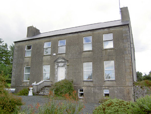 Spring Parkcountry house · 178 yd
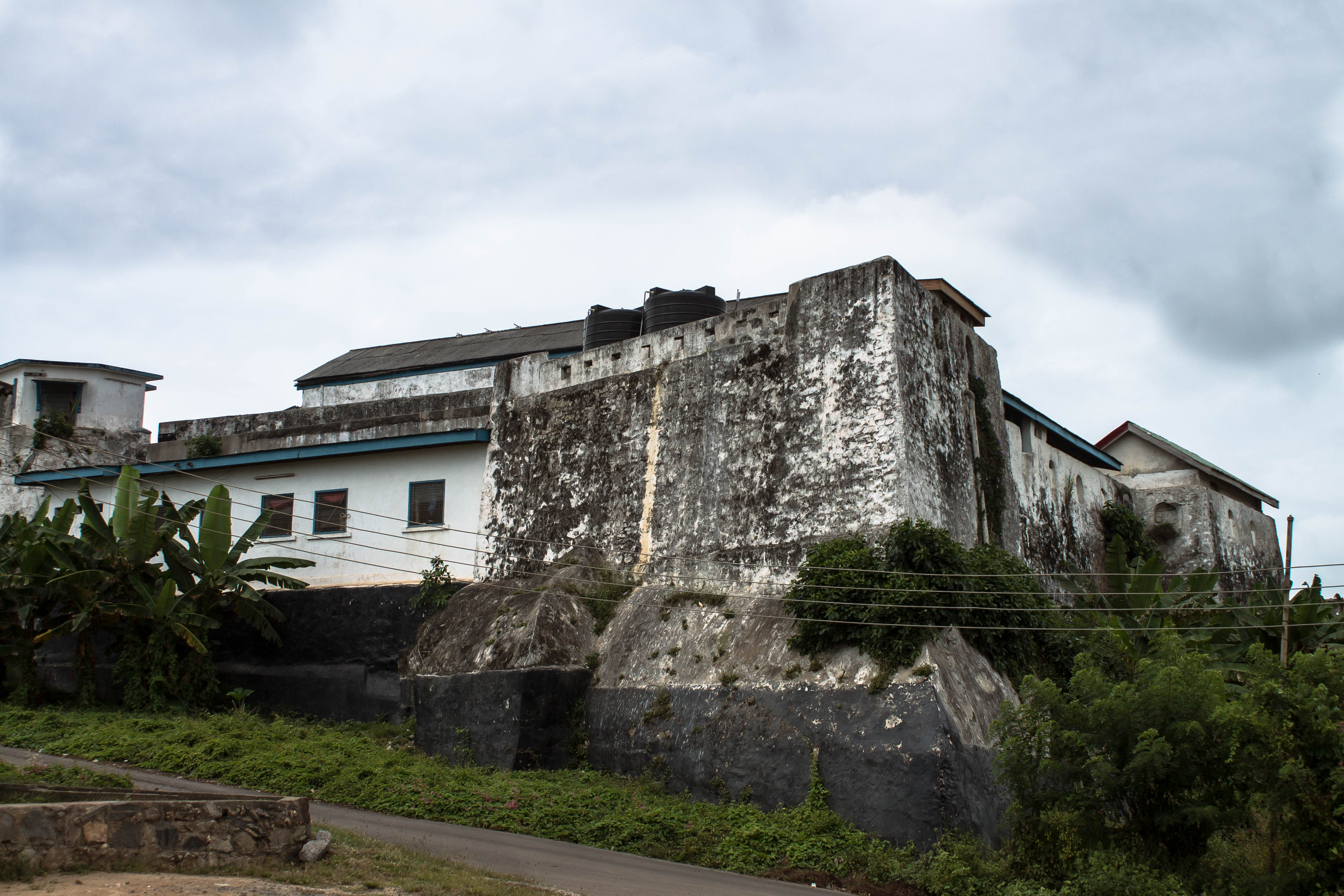 Orange FortFairy fort / earthen ringfort · 558 yd
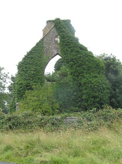 Tully Presbyterian Churchchurch/chapel · 877 yd
 IndicatedFairy fort / earthen ringfort · 1147 yd
 Clonfin Ambush MemorialMemorial · 1644 yd
 CastleCastle, unclassified · 1.1 mi
 Cloonfin WoodForest · 2.1 mi
 Moat & FortCastle, motte and bailey · 2.2 mi
 Granard MotteMotte-and-bailey castle remains · 3.0 mi
 1798 Monumentmonument · 3.1 mi
 Ballinalee Forest WalkForest · 3.8 mi
 Bully's Acregraveyard/cemetery, unknown · 4.1 mi