What is recorded here
Baptista Boazio marked a castle near Carrownacreevy on his chart of c. 1590, yet no stones or ditch have reappeared to confirm the drawing. The coast may have swallowed the entrance, torn the halls apart or simply deceived the chartmaker. Whatever vanished, it resisted every later attempt to picture it.
A castle is marked on Baptista Boazio's chart of c. 1590, in the vicinity of Carrownacreevy townland, but its exact location is unknown.
Compiled by: Archaeological Survey Unit, UCC with revisions by Patrick F. O'Donovan and Paul Walsh
Date of upload: 20 June 2011
The monument record does not grant public access. Check the route and ask the landowner before entering private land.
- What survives
- Recorded monument
Places near here
 Indicated (1838).Fairy fort / earthen ringfort · 1.4 mi
 IndicatedFairy fort / stone ringfort · 1.5 mi
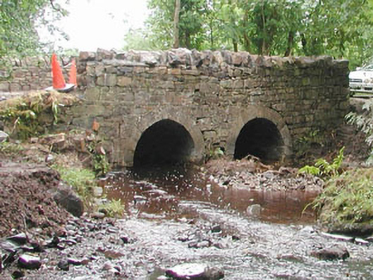 bridgebridge · 1.8 mi
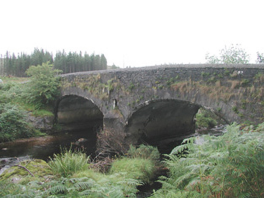 Carha Bridgebridge · 1.9 mi
 The Turf Stack RockNamed rock · 2.0 mi
 AnnatoranMountain / peak · 3.0 mi
 KnocknasheeMountain / peak · 3.0 mi
 White RockNamed rock · 3.6 mi
 CastleCastle, unclassified · 4.9 mi
 Pigeonpark WoodForest · 5.1 mi
 Valley WoodForest · 5.1 mi
 Bawn in Longford DemesneBawn · 5.3 mi