What is recorded here
Castle stood in Ballycoony when Ullick McOwge held it in 1574, yet no class remains to say whether it was a hall, fortress or farmhouse. That absence does not weaken the place; it refuses a false answer. The castle is still there under its own name, waiting for observation rather than invention.
Included in the list of castles in Co. Galway, compiled in 1574, are two in the townlands of 'Ballychonebeg' and Ballyconymore', both in the barony of Loughrea. These were then in the possession of 'Ullick McOwge' and 'Mac Owge', respectively (Nolan 1901, 112). One of these castles is undoubtedly that marked on OS 6-inch map in Ballycoony townland (see GA105-013----). This townland of 303 acres also extends onto the adjoining OS 6-inch map (GA115-). However, the site of the second castle (GA105-203----/GA115-054----) has not been located.
Compiled by: Galway Archaeological Survey, UCG
Date of upload: 13 June 2017
Built or held in the late 16th century by members of the Ó hUige (McOwge) family, this castle is remembered as part of the Gaelic Irish defensive architecture in west Connacht during the period of English encroachment. Its mention in the 1574 survey highlights the ongoing Gaelic presence in the region prior to widespread plantation.
The monument record does not grant public access. Check the route and ask the landowner before entering private land.
- What survives
- Recorded monument
Places near here
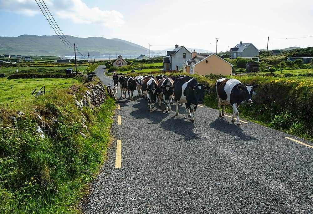 Fulacht fia in BallycoonyFulacht fia · 102 yd
 Site of CastleCastle, unclassified · 198 yd
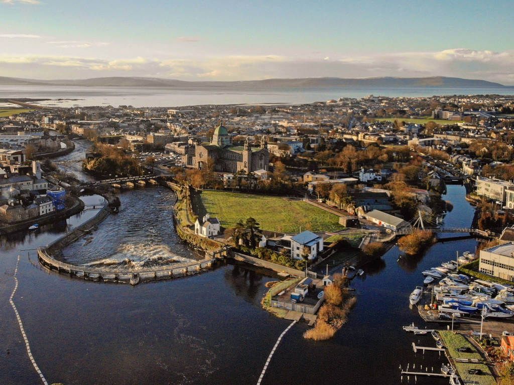 IndicatedFairy fort / stone ringfort · 585 yd
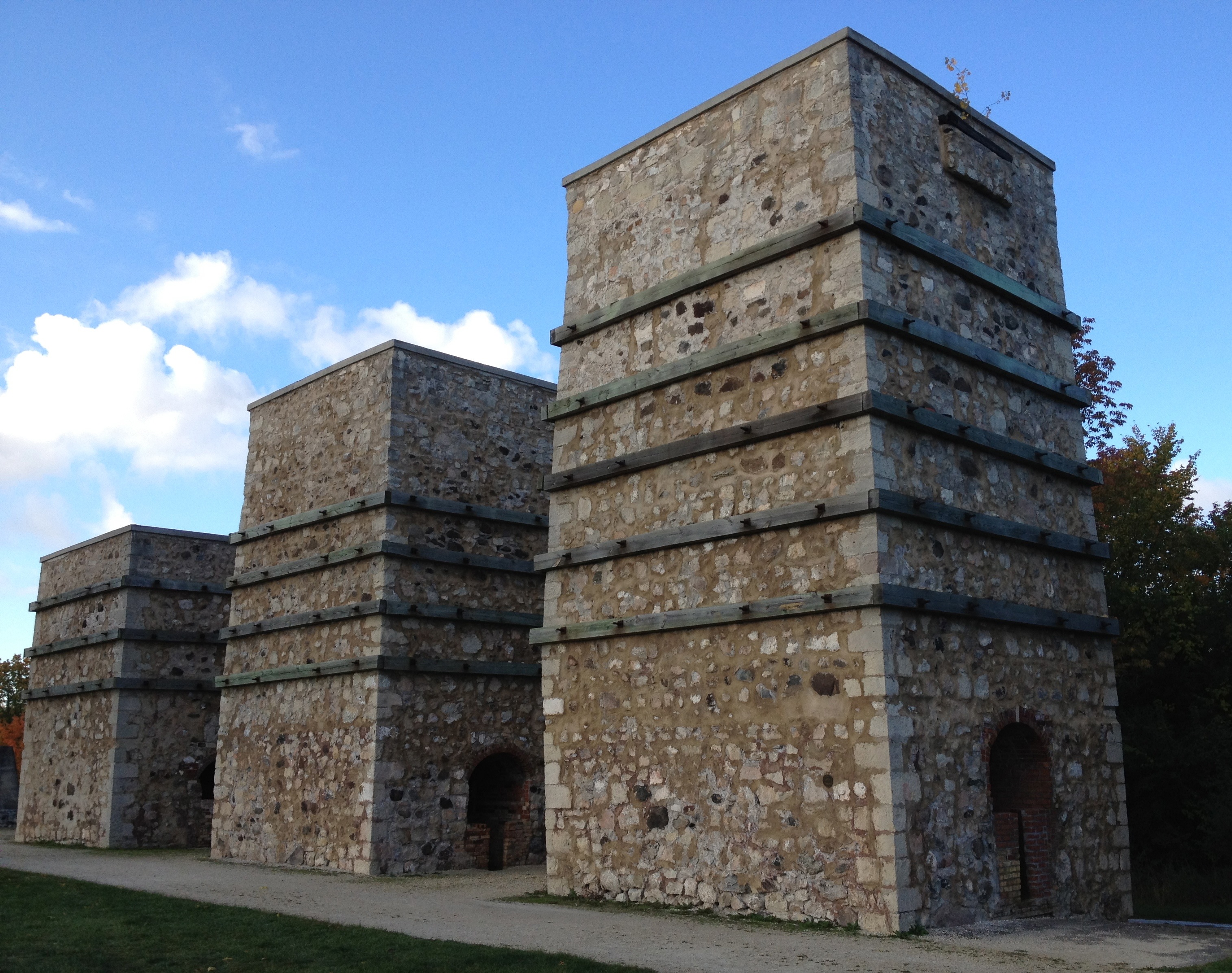 KilnKiln, lime · 1137 yd
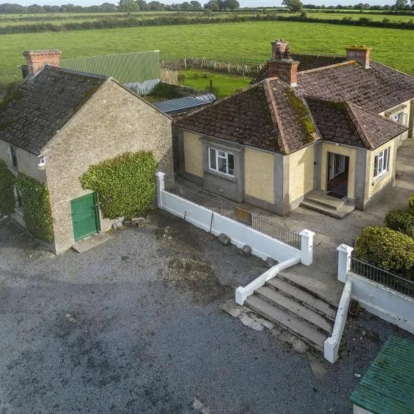 Ballingarry Ho.Country house · 1419 yd
 CastleCastle, tower house · 1.2 mi
 Ash IslandIslet · 1.7 mi
 Blake's IslandIslet · 2.1 mi
 Long PointHeadland · 2.5 mi
 Scalpeen RockNamed rock · 3.2 mi
 KnockapollboyMountain / peak · 4.6 mi
 Derrybrien Bog SlideHeritage attraction · 5.7 mi