What is recorded here
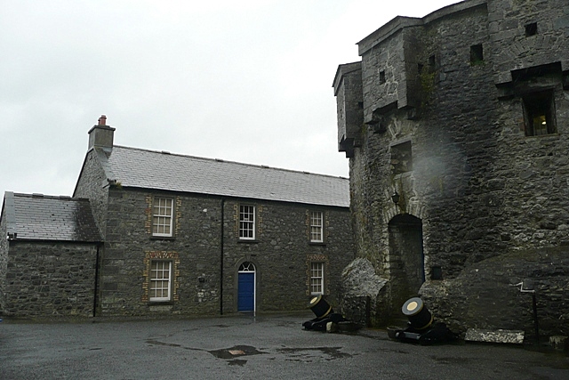
Cox's Castle stood on the corner of St. George's Lane in Athlone when Thomas Sherrard drew the town in 1784, marking a private stronghold amid ordinary streets. It may have belonged to a family proud enough to build stone walls where other residents settled for timber and plaster. The castle disappeared from later memory, leaving only a map point and a name behind.
The castle known as Cox's Castle (Murtagh 1994, 10) is depicted on Thomas Sherrard's map of Athlone dating from 1784 where it is shown located on the corner of St. George's Lane now Excise St. (RCB Ms. 151; Murtagh 1994, Map 7(a) and 7 (b)).
Compiled by: Caimin O'Brien
Date of upload: 06 December 2013
Cox's Castle in Athlone was built in the late 18th century, likely by a local landowner or official, and is remembered as an early example of urban development in the town. Its location and depiction on historical maps make it significant for understanding Athlone's 18th-century landscape.
The monument record does not grant public access. Check the route and ask the landowner before entering private land.
- What survives
- Recorded monument
Places near here
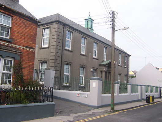 Scoil Náisiúnta Naoimh Peadar agus Pólschool · 55 yd
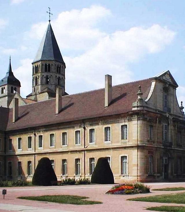 Religious houseReligious house, Cluniac monks · 68 yd
 Bastion GalleryGallery · 160 yd
 CrossCross, Wayside cross · 189 yd
 Athlone CastleVisitor information · 209 yd
 Historic Town - Athlone Castle & Church of St Peter and PaulVisitor information · 240 yd
 1916 Centenery CommemorationMemorial · 416 yd
 Ancient WallTown defences · 473 yd
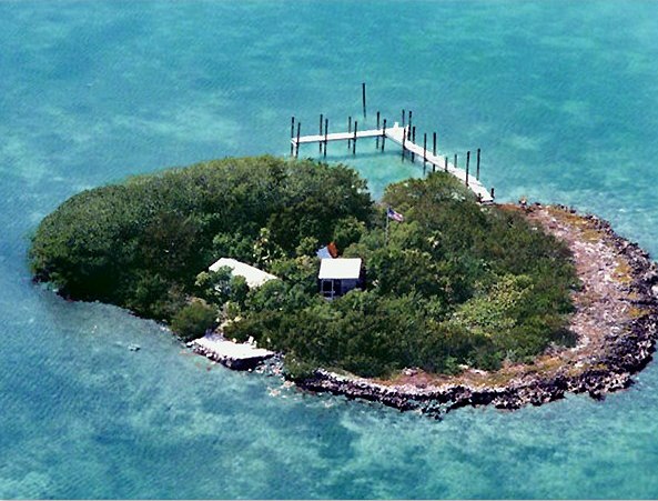 Charlie's IslandIslet · 1187 yd
 Siege of Athlonesiege · 1537 yd
 Athlone Locklock · 99 yd
Other information
Photo: Graham Horn · CC BY-SA 2.0