What is recorded here
One tower house in Callan South still wears a cut-stone gothic door saved in a yard opposite the crossroads. It stood tall enough to be drawn among four towers near St Augustine's Well, then became the kind of castle people built shops and yards around. The medieval room may still breathe inside the ordinary walls, waiting for someone to stop treating the corner as new.
Carrigan (1905, vol. 3, 292-3) mentions several castles in Callan, though these are difficult to precisely locate. According to Carrigan (ibid. 293), ‘Upon and inside it [Callan] there were several castles. One of these stood on the site now occupied by Mrs. Meany's Grocery and Spirit Establishment; another at the opposite corner of the street, in Mr. James Pollard’s yard, where one of its cut-stone gothic doors is still preserved’. This suggests that the castle (KK026-010003-) occupied by Meany’s c. 1900 and the castle (KK026-010004-) opposite it, is at the crossroads in the centre of town, one possibly occupying the NW angle and the other located in a yard in the opposite SW angle (Farrelly et al. 1993, vol. 1, 114-15; vol. 2, map 7:4). A drawing c. 1813 shows the tops of four tower houses from near St Augustine's Well, one of which, according to Manning (1998, 66) is , 'near the corner of Green (South) St. and West St.' which suggests that the tower house survived in good condition until the first half of the 19th century. It is described in the Civil Survey (1654-6) (ibid. 55) with property 63 as, 'A slated house, 2 storeys high. A demolished castle at the west side of the same, 3 storeys high, length 45 foot, broad 21. No garden. Five rooms, 1 chimney'. The owner is given as, 'Garrald ffittz Garrald' with 'George Darker P[rotestan]t' as the tenant (ibid.).
A two-storey hipped-roof building currently occupies the SW angle, presenting three bays on West Street and two bays on Green Street, with a shop at ground level, with a yard to the rear. It is possible that medieval fabric, including the medieval doorway, is incorporated in the buildings facing onto this yard.
See attached:
KK026-010004-_01 Drawing c. 1813 in Manning 1998, 66, fig. 16
Compiled by: Jean Farrelly
Date of upload: 8 June 2022
The monument record does not grant public access. Check the route and ask the landowner before entering private land.
- What survives
- Recorded monument
Places near here
 Elm Househouse · 31 yd
 CrossCross, Market cross · 33 yd
 CastleCastle, tower house · 35 yd
 Humphrey O'SullivanMemorial · 38 yd
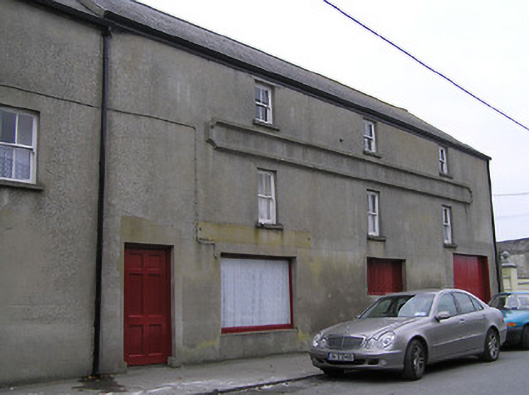 store/warehousestore/warehouse · 38 yd
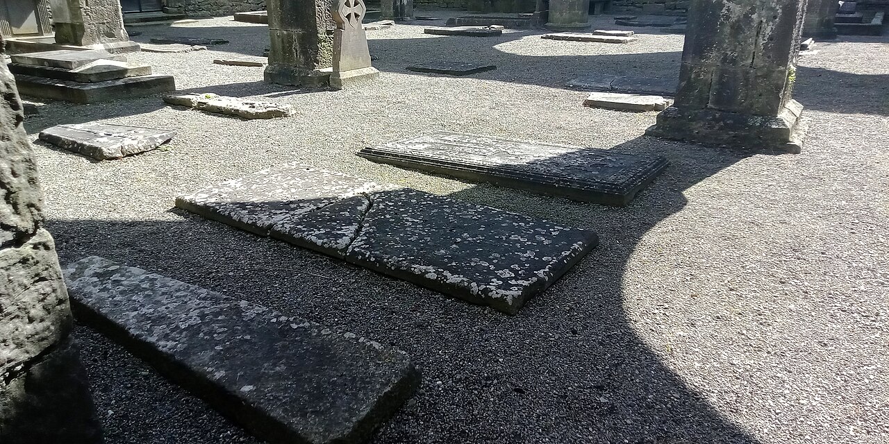 St Mary's ChurchVisitor information · 44 yd
 Stop 4: Callan Town HallVisitor information · 95 yd
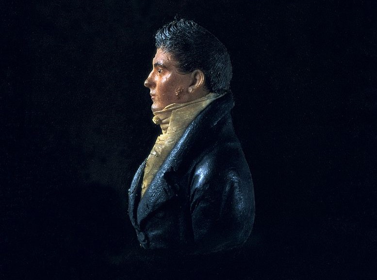 James Hoban MonumentMemorial · 168 yd
 St. Augustines WellHoly well · 236 yd
 West CourtCastle, unclassified · 741 yd
 Edmund Rice Heritage CentreMuseum · 1104 yd
 Mill IslandIslet · 1.2 mi