What is recorded here
Situated on flat pasture with the nearby River Suir to the E and a church (TN035-030002-) and ringwork (TN035-030001-) to the W. A four-storey tower house with attic, constructed of coursed rubble with rounded angles and slight base-batter. A seventeenth-century semi-fortified Z-plan house (TN035-030004-) is attached to the N façade of the tower house. The tower was accessed from a main doorway in the centre of the N wall which led to a lobby protected by an overhead murder-hole. The spiral stairs in the NE angle were accessed off the lobby and are now blocked up while the ground floor is reached through a doorway directly opposite the main entrance. The ground floor is barrel vaulted with a second vault over the second floor, the latter floor containing an armorial fireplace, now inaccessible. It bears the shields of the Butler and Purcell families with the initials IFP and FP or BP over the fireplace. Other decorative features on the fireplace consists of interlaced triangles and six interlaced rings within a Star of David. All windows were single or twin flat-headed types. Externally at the base of the E wall off-centre to the S there is a large garderobe chute opening which is fed from several garderobes in the SE angle of the tower. A box machicolation at wall-walk level at the centre of the W wall is accessible from the attic. A series of cut-stone corbels support a machicolation at wall-walk level on the N and S walls.
The above description is derived from 'The Archaeological Inventory of County Tipperary. Vol. 1 - North Tipperary' compiled by Jean Farrelly and Caimin O'Brien (Dublin: Stationery Office, 2002). In certain instances the entries have been revised and updated in the light of recent research.
Date of upload/revision: 22 September 2008
This monument is subject to a preservation order made under the National Monuments Acts 1930 to 2014 (PO no. 57/1938).
Built in the late 15th or early 16th century, Castle Tinvoher was likely constructed by a local Gaelic lord or Anglo-Norman family in the Suir Valley region. It is remembered as a fine example of a tower house and for its association with the strategic and contested frontier between Gaelic and English-controlled territories in medieval Ireland.
The monument record does not grant public access. Check the route and ask the landowner before entering private land.
- What survives
- Recorded monument
Places near here
 Loughmoe CourtHouse, fortified house · 18 yd
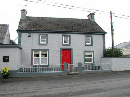 barracksbarracks · 263 yd
 Church (in Ruins), Grave Yd.Church · 365 yd
 CastleCastle, ringwork · 501 yd
 Enclosure in TinvoherEnclosure · 950 yd
 Enclosure in Curraghmore (loughmoe East Par.)Enclosure · 1546 yd
 Morris's GroveForest · 2.7 mi
 Kilvilcorris BogForest · 3.3 mi
 Tullow HillMountain / peak · 5.7 mi
 Devil's Bit MountainMountain / peak · 5.9 mi
 Cormackstown Heritage CentreMuseum · 6.6 mi
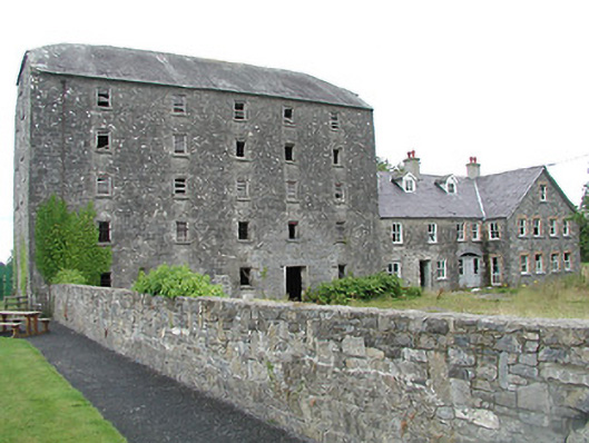 mill (water)mill (water) · 394 yd