
What is recorded here
Duinnagregor rises in Carnduff as a castle or promontory fort, though no exact date remains attached to its stones. The sea may have beaten the base while people watched the horizon from above, turning uncertainty into a boundary between land and water.
The official Northern Ireland record identifies this as CASTLE/PROMONTORY FORT: DUINNAGREGOR. Recorded period: UNCERTAIN. The official map point was placed at the centre of the recorded archaeological site from the source map reference.
The monument record does not grant public access. Check the route and ask the landowner before entering private land.
- What survives
- Recorded monument
Places near here
 STANDING STONE: removed & built into Ballycastle pier in GortconnySTANDING STONE: removed & built into Ballycastle pier · 1481 yd
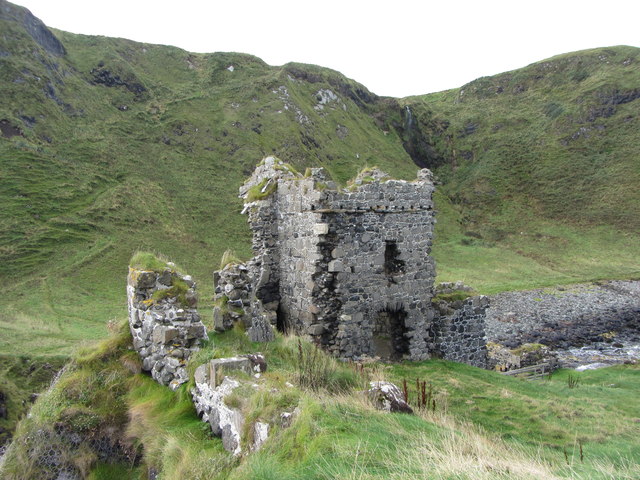 KINBANE CASTLE in CregganboyKINBANE CASTLE · 1671 yd
 Kinbane CastleCastle · 1674 yd
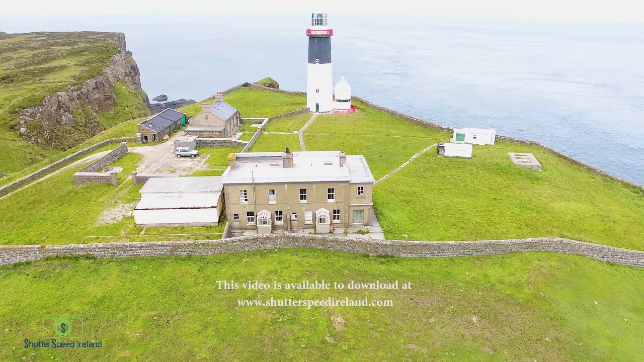 CropmarkCropmark, Possible enclosure (rath?) · 1684 yd
 MarconiMemorial · 1.6 mi
 Ballycastle HarbourVisitor information · 1.6 mi
 Masonic HallHall · 1.6 mi
 Ballycastle Presbyterian ChurchChurch · 1.6 mi
 Ballycastle MuseumMuseum · 1.6 mi
 Ballycastle BeachBeach / strand · 2.0 mi
 Carrickarede IslandIslet · 2.7 mi
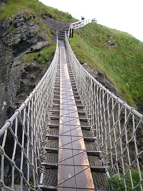 Carrick-a-rede Rope BridgeHeritage attraction · 2.7 mi
Other information
Photo: Credit not shown · Copyright shown; no reuse licence shown