What is recorded here
Situated on a low ridge to the immediate W of the Moate Road, directly S of Main Street in the town of Moate. Depicted on the revised 1910 ed. OS 25-inch map as a substantial oval-shaped flat-topped mound. Monument described as a large steep-sided circular-shaped mound defined by regular sides. The top (dims. 19m N-S; 15m E-W) is slightly rounded and has an irregular surface. A fosse defines the base of the motte from S-SSW-SW and separates it from a high, triangular-shaped platform which represents the remains of a bailey. There is no indication of an entrance feature or of access to the motte from the bailey. The E side of the bailey has been disturbed by quarrying. Monument is clearly visible today as a roughly circular-shaped mound with a triangular-shaped bailey on Digital Globe aerial photography.
Compiled by Alison McQueen, Vera Rahilly and Caimin O’Brien.
Date of upload: 10 November 2019
Built in the 13th century, likely by a Norman lord or local gentry during the Anglo-Norman expansion in Ireland. The site is important as a typical example of a motte and bailey castle, reflecting early medieval military architecture and settlement patterns in the region.
The monument record does not grant public access. Check the route and ask the landowner before entering private land.
- What survives
- Recorded monument
Places near here
 Moate HillMountain / peak · 5 yd
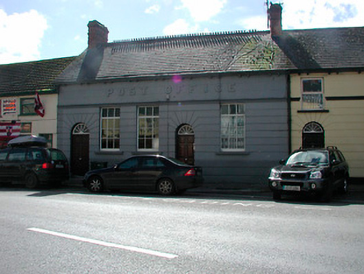 Moate Post Officepost office · 117 yd
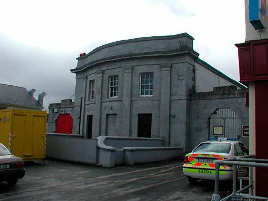 Moate Courthousecourt house · 151 yd
 Bawn in Cartronkeel (clonlonan By.)Bawn · 220 yd
 Charles BianconiMemorial · 342 yd
 The Bob Traynor GalleryGallery · 457 yd
 Dún na SíMuseum · 1689 yd
 Troopers MountMound · 1.3 mi
 Nolt indicatedCrannog · 1.5 mi
 Moyally Castle (in Ruins)Bawn · 1.7 mi
 Roughan HillMountain / peak · 3.2 mi
 ToberaskeenSpring · 3.6 mi