What is recorded here
Castle is a motte and bailey in Garrydague, County Kilkenny, where an oval mound overlooks a narrow fording point in a rock-cut stream. The mound rises 2.4m above a shallow fosse, while the eastern slope drops to a crescent-shaped terrace that serves as the bailey. Its position controls access across the water, suggesting it was built to watch, stop or tax movement through the valley.
In a valley on the W side of a rock-cut stream gorge, in rolling grassland. There are good views in all directions. An oval mound (diam. of top 11m N-S; 8m E-W, H 2.4) with fosse (Wth 3m; D 0.6m) at base on N, S and W. At E the ground drops steeply (H 4m) to a crescent-shaped flat area (dims. 20m N-S; 8m E-W). This motte appears to have been strategically located to avail of a fording point in the river. The natural terrace below the mound forms a bailey (H 2.5m above stream) and is at a point in the stream where it can be easily forded.
Compiled by: Jean Farrelly
Date of upload: 31 January 2018
The monument record does not grant public access. Check the route and ask the landowner before entering private land.
- What survives
- Recorded monument
Places near here
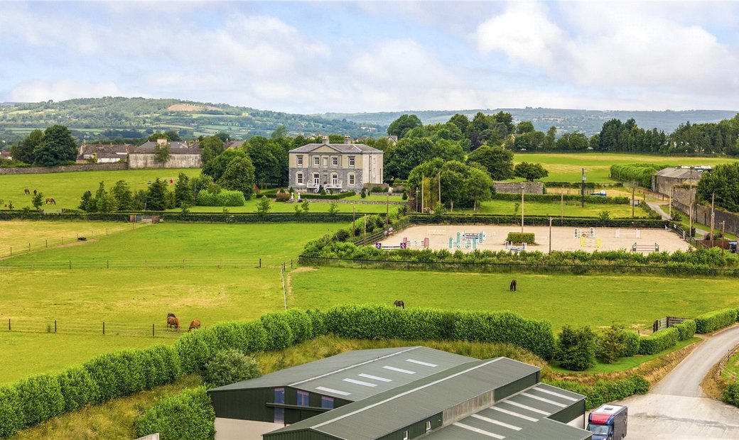 Enclosure in BallygowneyEnclosure · 1017 yd
 Foyle Bridgebridge · 1197 yd
 CaisealArchaeological place · 1361 yd
 CastleCastle, unclassified · 1509 yd
 Balleen Castle (ruins)Castle · 1512 yd
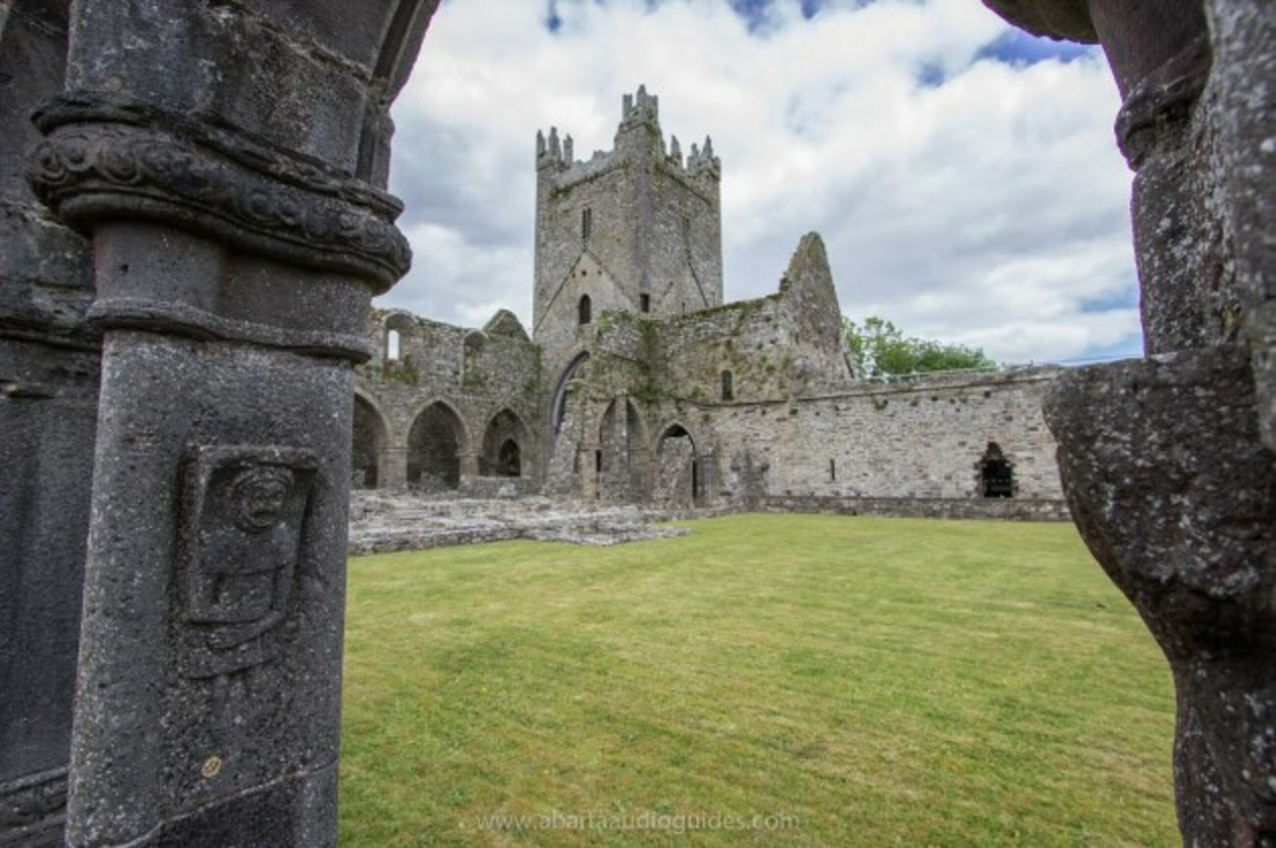 Church in Tifeaghna (browne)Church · 1716 yd
 Clomantagh HillMountain / peak · 3.3 mi
 Street fieldArchaeological place · 3.5 mi
 Anker's IslandIsland · 4.8 mi
 John HelyMemorial · 4.9 mi
 DelaneyMemorial · 4.9 mi
 Kildrinagh WoodForest · 5.4 mi