What is recorded here
Cloonacastle holds a broken motte and bailey on a Galway hillock, its south mound destroyed but its D-shaped yard still marked by a steep scarp and narrow fosse. The earthwork may have served a local lord, a passing army or a forgotten boundary keeper, yet its shape still separates human ambition from natural slope.
On a prominent hillock in pastureland c. 1km to the SSE of Duniry village. This motte and bailey is defined by a low circular mound (diam. c. 20m) that is destroyed at S, and a D-shaped bailey (c. 35m E-W) which adjoins it to the S. The latter is defined by a scarp (H 1.7m) which is steepest from NE to SW. A fosse (Wth 2m) and outer bank surround the bailey from SE to NW. The field boundary curving from ENE to ESE may mirror the line of the bank. The entire monument is then delimited by the natural scarp of the hillock. A castle (GA116-029001-) occupied the top of the motte. (O’Flanagan 1927, Vol. 2, 490)
Compiled by: Galway Archaeological Survey, UCG
Date of upload: 9 December 2019
Built by Anglo-Norman settlers in the 13th century, this motte and bailey castle is important as a regional example of early medieval military architecture in Ireland.
The monument record does not grant public access. Check the route and ask the landowner before entering private land.
- What survives
- Recorded monument
Places near here
 Site of CastleCastle, unclassified · 6 yd
 ToberbreedaHoly well · 920 yd
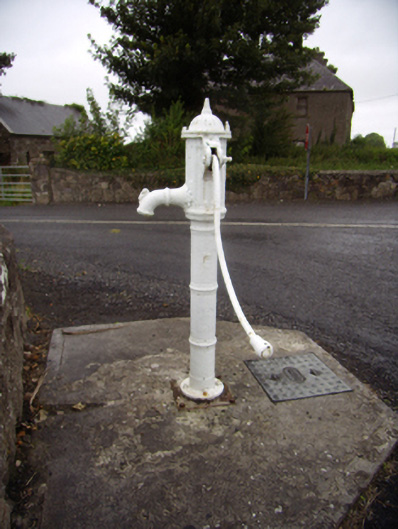 water pumpwater pump · 978 yd
 bridgebridge · 983 yd
 Quarryhill WoodWood · 1.4 mi
 Enclosure in EaglehillEnclosure · 1.5 mi
 Oak WoodForest · 1.5 mi
 Pallas CastleCastle, tower house · 1.6 mi
 Stonyisland BayBay · 5.6 mi
 Friar's IslandIslet · 5.7 mi
 Abbey IslandIslet · 5.8 mi
 Cregg PointHeadland · 7.1 mi