
What is recorded here
Castle, motte and bailey in Ballinaclogh Lower stands inside an older ringfort, proving that strength often builds on forgotten strength rather than erasing it. Its oval mound, shallow ditch and broad D-shaped yard still mark a place where people controlled entry, watched the land and kept what they valued safe. The numbers are modest, but the shape is decisive: a separate mound for height, a separate yard for life, and a boundary between them. That is not a decorative hill; it is a working castle reduced to grass and silence.
An oval-shaped motte (dims. 30m E-W; 15m N-S; H c. 2m) seperated by a wide shallow fosse (Wth c. 7m, D c. 1.5m) from a D-shaped bailey (dims. 24m SW-NE; 40m NW-SE) to ESE. The bailey is defined by a low bank (Wth c. 4m, int. H c. 0.4m) and outer fosse (Wth c. 4m, int. D 5m). An outer bank (Wth c. 3m) is present from SE-NW. Appears to be constructed within an earlier ringfort (LA024-015001-) (OPW file). (JKAS 1992-3, 3-19).
Archaeological rescue excavation carried out in the vicinity of the motte at Ballinaclogh by Eoin Grogan under licence number E000223, no report was submitted.
The above description is derived from the published 'Archaeological Inventory of County Laois' (Dublin Stationery Office, 1995) compiled by P. David Sweetman, Olive Alcock and Bernie Moran. In certain instances the entries have been revised and updated in the light of recent research.
Date of upload: 17 December 2007
This monument is subject to a preservation order made under the National Monuments Acts 1930 to 2014 (PO no. 4/1981).
The monument record does not grant public access. Check the route and ask the landowner before entering private land.
- What survives
- Recorded monument
Places near here
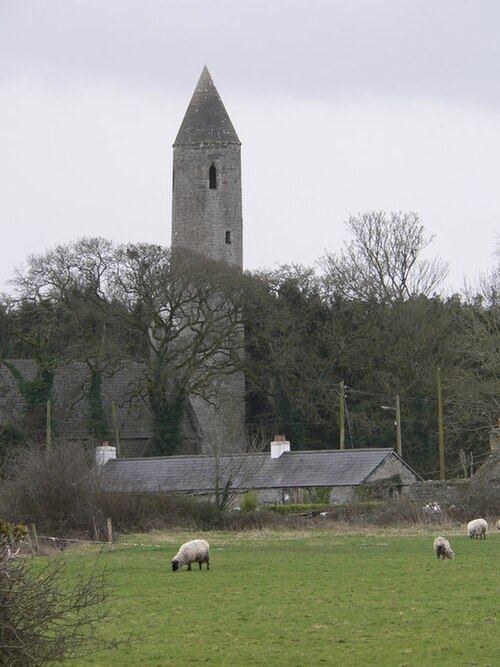 Timahoe Round TowerExhibitionist figure · 1244 yd
 Timahoe Abbey (in ruins)Ecclesiastical site · 1258 yd
 Timahoe Heritage Centrechurch/chapel · 1264 yd
 Timahoe AbbeyCastle, tower house · 1271 yd
 Timahoe Church and Round TowerVisitor information · 1290 yd
 Saint Michael's Catholic Churchchurch/chapel · 1310 yd
 Bawn in Cullenagh (cullenagh By.)Bawn · 1.6 mi
 Rock of CashelMountain / peak · 3.5 mi
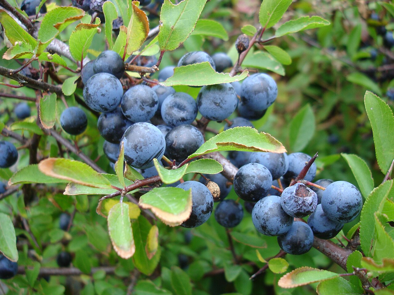 BlackthornBlackthorn · 4.7 mi
 European BeechEuropean Beech · 4.9 mi
 Mass Rock WalkWalking route · 5.1 mi
 Oughaval Wood MapVisitor information · 5.1 mi
Other information
Photo: Credit not shown in the picture search · Rights wording not checked; contact us if this picture should be removed