What is recorded here
Knockanarra stood on the west bank of the Island River in 1574, holding a low-lying but strategic position for Mac Davy. Time has stripped the tower house to a thirteen-metre northern wall and fragments of its sides, leaving only a faint embrasure trace to hint at its defensive purpose. The river still flows beside the ruins, carrying away the names and lives that once filled the chamber.
On W bank of the Island River in a low-lying but strategic position. In existence in 1574 when 'Cloghane Kellebig' castle was in the possession of 'Mac Davy' (Nolan 1901b, 117). All that survives is N wall (L 13.4m, H < 2.8m) with a pronounced base-batter, and short sections of E and W walls (L c. 2m). Apart from traces of an embrasure in N wall, no architectural features survive. (O'Flanagan 1927, Vol. 1, 117)
The above description is derived from the published 'Archaeological Inventory of County Galway Vol. II - North Galway'. Compiled by Olive Alcock, Kathy de hÓra and Paul Gosling (Dublin: Stationery Office, 1999).
Date of upload: 05 August 2010
Built by the Mac Davy family in the 16th century, Knockanarra Castle is remembered for its strategic location on the Island River and its mention in historical records from 1574, reflecting the regional power dynamics of the time.
The monument record does not grant public access. Check the route and ask the landowner before entering private land.
- What survives
- Recorded monument
Places near here
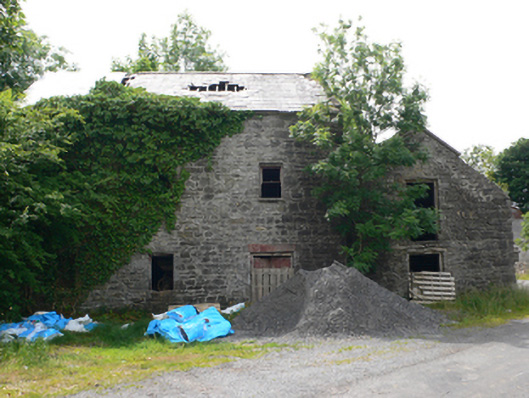 Clough Millmill (water) · 115 yd
 Enclosure in Moneen (island Ed)Enclosure · 1076 yd
 Church in Kilbeg (ballymoe By.)Church · 1248 yd
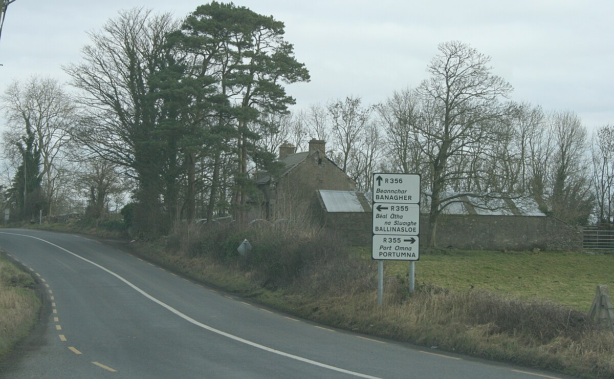 IndicatedCrannog · 1730 yd
 CastleCastle, unclassified · 1.4 mi
 Castle (in ruins)Castle, unclassified · 2.4 mi
 Rook HillMountain / peak · 2.8 mi
 Coolougher WoodForest · 4.0 mi
 Slieve DartMountain / peak · 5.8 mi
 Site of Killomaine Grave YardArchaeological place · 5.8 mi
 Workhouse MemorialMemorial · 6.0 mi
 Silver IslandIslet · 6.5 mi