What is recorded here
Castle Drumlummin stands buried beneath a lush Tipperary meadow, its D-shaped enclosure detectable only by magnetometer. The castle shrank from a rectangular ruin on early maps to a single wall, then vanished entirely when local hands levelled the remaining stones in the 1950s. What is left is a hidden ridge of forgotten mortar, waiting beneath the grass for someone to remember it.
On slight natural rise, on ground sloping to the SW towards the River Tar, in undulating terrain. Field reclaimed, now lush meadow. No visible trace of castle above ground. In the Civil Survey (1654-6) the castle is described as 'a stump' (Simington 1931, vol.1, 366). It is depicted on 1st (1840) ed. OS 6-inch map as a rectangular building 'in ruins' and by the 2nd (1907) ed. only one wall is shown standing. The lower courses of the castle were levelled in the 1950s (Cleary 1987, 116). A magnetometer survey was carried out in area around the castle in 1981 revealed a D-shaped enclosure (TS087-006005-) around the castle though no finds were recovered from the fosse to provide a definite date for its use (Cleary 1987, 117, 125-6).
Compiled by: Jean Farrelly
Date of upload: 19 November 2013
This remains an important historical record, but the official description says the monument is no longer visible or has been destroyed. The monument record does not grant public access. Check the route and ask the landowner before entering private land.
- What survives
- No visible remains or recorded as destroyed
Places near here
 Garrymore Bridgebridge · 908 yd
 RaheenArchaeological place · 1191 yd
 Shanbally Castlegate lodge · 1357 yd
 IndicatedEnclosure · 1586 yd
 Sweet ChestnutSweet Chestnut · 1.2 mi
 Knockane Castle ruinsCastle · 1.7 mi
 Shanrahan CastleCastle, hall-house · 1.8 mi
 Rehill WoodForest · 1.9 mi
 MonaminaneMountain / peak · 3.6 mi
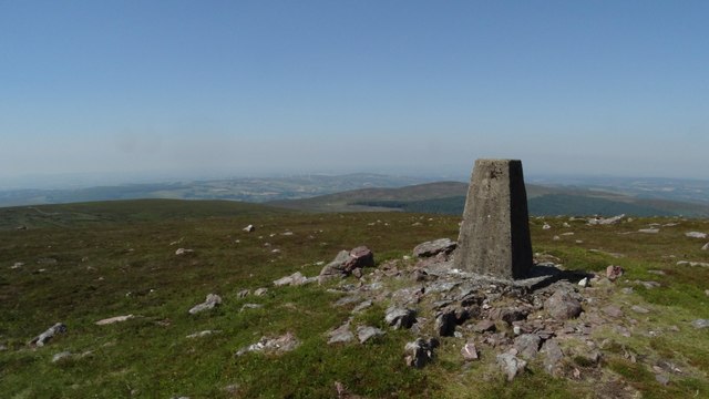 KnockshanahullionMountain / peak · 3.7 mi
 Mitchelstown CaveCave · 3.9 mi
 Ronald Reagan CentreHeritage attraction · 4.0 mi