
What is recorded here
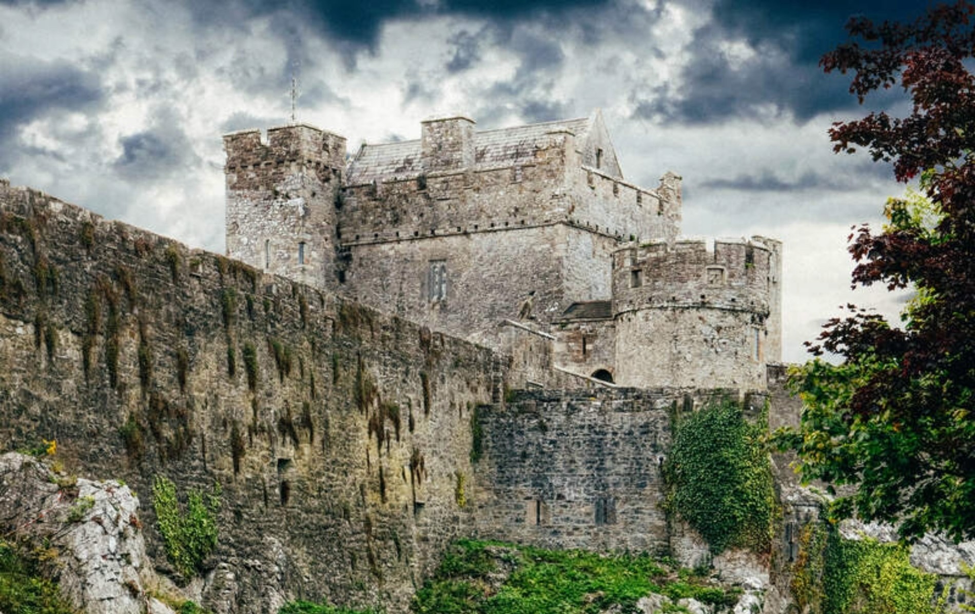
Cabragh Castle stands as a square tower house in County Tipperary, its upper floors neatly knocked away to leave an even first-floor edge above the River Suir flood plain. Rough limestone blocks and a surviving bawn wall mark the site, while two later doorways and an outside staircase suggest the building was rebuilt after its north wall failed. The river remains one hundred metres to the northwest, close enough to imagine water arriving suddenly through the opened top.
Situated on a slight rise in fairly level ground. The land drops slightly to the River Suir flood plain, the river being c. 100m NW of the tower house (TN047-015001). Depicted as Cabra Castle (TN047-015) on Rocque's Map of Thurles 1775. A roughly square tower house which has been much altered and the stone work repointed. It was built of roughly coursed, crudely cut limestone blocks with base-batter on all sides except NW. The tower house only survives to first-floor level, anything above this has been neatly knocked off leaving an even level. According to the OS Letters the N wall was completely destroyed 'the staircase ascends now on the outside of the structure' (O'Flanagan 1930, vol. 2, 192-3). This would suggest that the two doorways were inserted in a later rebuild. The letters also mention 'the corner over the stairs is battered; some remains of a watch tower of circular form are on the corner' (ibid.). There may have been a bartizan at the NW angle.
There is a length of wall (L 22.2m; T 0.45-0.5m) 20.6m N of the tower house which may be the remains of a bawn. It is composed of roughly coursed limestone rubble (H 2.5m with coping adding approx. 0.2m). The coping, which appears to have been at least partly built of brick, has been cemented over. This wall appears to run into a later house at its NE end - there is no evidence of a wall beyond this. At the NW end there is a foundation stone which seems to indicate a return, suggesting that the wall ran up to the NW wall of the tower house, meeting it roughly off-centre. On the SE face of the possible bawn wall there is a base-batter (H 1.3m H; Wth 0.23m). Two large buttresses support the wall on the NW face which is bulging out quite badly.
Compiled by: Caimin O'Brien.
Date of upload: 22 September 2008
The monument record does not grant public access. Check the route and ask the landowner before entering private land.
- What survives
- Recorded monument
Places near here
 bridgebridge · 351 yd
 Corn Mill (in ruins)Water mill, unclassified · 411 yd
 Enclosure in CabraghEnclosure · 977 yd
 Enclosure in Turtulla (fertiana Par.)Enclosure · 1428 yd
 Wildlife CorridorWood · 1.2 mi
 Castle (Site of)Castle, unclassified · 1.4 mi
 Beakstown HouseCastle, unclassified · 1.4 mi
 WoodlandWood · 1.6 mi
 Cormackstown Heritage CentreMuseum · 1.8 mi
 Lár na PáirceMuseum · 1.9 mi
 Killough Hill (site of)Mountain / peak · 3.0 mi
 Horse and JockeyVisitor information · 4.2 mi
Other information
Photo: Credit not shown in the picture search · Rights wording not checked; contact us if this picture should be removed