What is recorded here
Inishleague still carries a castle name though no wall stands clear enough to measure. The land may have worn the stones into grass, or the castle may have been small enough never to demand marble. A man could have lived there, argued there, forgotten there. Name and loss are doing the work the stones stopped doing.
The official Northern Ireland record identifies this as CASTLE. Recorded period: UNCERTAIN. The official map point was placed at the centre of the recorded archaeological site from the source map reference.
The monument record does not grant public access. Check the route and ask the landowner before entering private land.
- What survives
- Recorded monument
Places near here
 InishfausyIsland · 527 yd
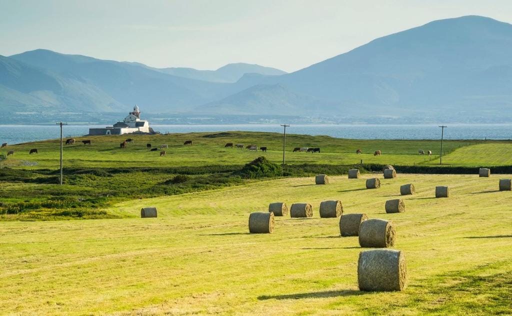 Bilberry IslandIsland · 876 yd
 Inishbeg HillMountain / peak · 1.4 mi
 HOLY WELL: ST NINIAN'S WELL in KnockninnyHOLY WELL: ST NINIAN'S WELL · 1.5 mi
 HOLY WELL: TOBERSHANNY in CloonacarnHOLY WELL: TOBERSHANNY · 1.7 mi
 Temple Will WoodWood · 1.9 mi
 Slatequay WoodWood · 2.0 mi
 Giant's GraveArchaeological place · 2.2 mi
 St. Michael's ChurchChurch · 2.7 mi
 Carry BridgeBridge · 2.9 mi
 Carrowhony Pet FarmHeritage attraction · 3.5 mi
 Castle BalfourCastle · 4.0 mi