
What is recorded here
Walled garden on sub rectangular-plan associated with Castle Forbes, erected/laid out c. 1820. Now in use as a garden centre. Surrounded by rubble limestone wall with buttresses to the boundary wall to the southeast side. Wall rendered to external face on northeast side. Single-storey outbuildings located to southwest and northwest corners having tiled half-hipped roofs, rubble limestone walls and replacement fittings to square-headed openings. Replacement wrought-iron gates set to cut limestone piers (on square-plan) to the centre of the northeast side of boundary wall. Located to the south of Castle Forbes (13303001), to the southwest side of secondary approach avenue, and to the east of Newtown-Forbes.
This walled garden forms an integral part of the Castle Forbes (13303001) complex. Although simple in form, its scale gives an interesting historical insight into the extensive resources required to maintain a large country estate during the nineteenth century. The altered outbuildings complete the setting and add to this composition.
This does not grant access. Most recorded buildings are privately owned; view them only from public ground unless the owner allows entry.
Places near here
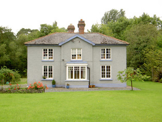 worker's houseworker's house · 215 yd
 Lebanon CedarLebanon Cedar · 532 yd
 Castle Forbescastle/fortified house · 570 yd
 CastleforbesCastle · 591 yd
 Bawn in Castleforbes DemesneBawn · 619 yd
 Pedunculate OakPedunculate Oak · 851 yd
 Grave Yard (Disused)Graveyard · 975 yd
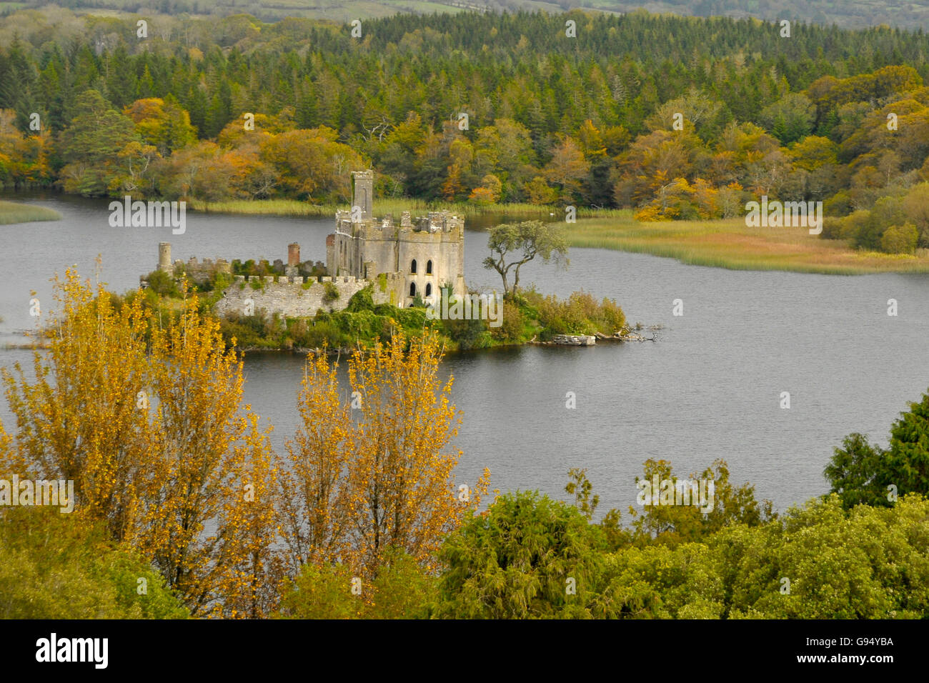 Sallow IslandCrannog · 1.2 mi
 St. Barry's WellSpring · 1.8 mi
 Long IslandIslet · 2.1 mi
 Saint Mel's CathedralCathedral · 3.6 mi
 First World War MemorialMemorial · 3.6 mi
Other information
Photo: National Inventory of Architectural Heritage · Website use allowed for educational or private purposes with source credit