
What is recorded here
Farthingstown Castle was a tower house on Rathconrath lands when Richard Dalton held it during the upheavals of the 1640s. The building has vanished entirely, leaving only a modern rubble cairn around a large tree stump to mark where its walls once rose. That much is known; the rest belongs to imagination, where a castle may have fallen, been forgotten or simply stopped being useful to the people who recorded it.
No surface remains visible of Farthingstown Castle which is depicted on the 1655-9 Down Survey map of Rathconrath parish (NLI, MS 723-4). On this map a tower house type structure is depicted standing on lands in the possession of Richard Dalton, listed as an 'Irish Papist' in 1641 (ibid.). Modern rubble built cairn built around a large tree stump is all that survives where castle site is marked on the OS 6-inch map.
Compiled by: Caimin O'Brien
Date of upload: 5 October 2016
Built in the 17th century, Farthingstown Castle was likely a tower house held by a local Gaelic or Anglo-Irish family in County Down. Its depiction on the Down Survey map highlights its historical presence in the Rathconrath parish landscape during the post-plantation period of Irish history.
The monument record does not grant public access. Check the route and ask the landowner before entering private land.
- What survives
- Recorded monument
Places near here
 Hut site in Farthingstown (rathconrath By.)Hut site · 1076 yd
 Partially hachuredFairy fort / ringfort · 1187 yd
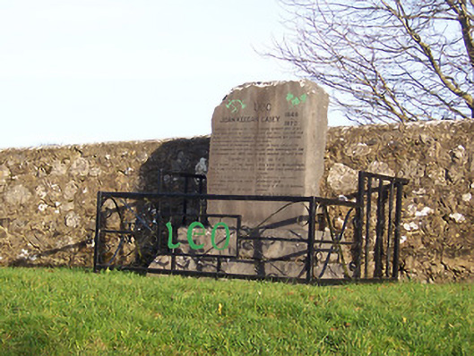 John Keegan Casey Monumentmonument · 1243 yd
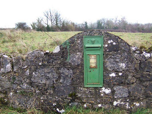 post boxpost box · 1418 yd
 Hachured, 420 ODCastle, motte · 1687 yd
 Ancient Ring FortWood · 1.1 mi
 Milltown Castle in ruinsCastle, unclassified · 1.2 mi
 Sessile OakSessile Oak · 4.2 mi
 Abbeyshrule AbbeyRuins · 5.5 mi
 Craft WorkshopHeritage attraction · 6.5 mi
 Guest ServicesVisitor information · 6.5 mi
 Goldsmith Birthplace, PallasVisitor information · 6.7 mi
Other information
Photo: Credit not shown in the picture search · Rights wording not checked; contact us if this picture should be removed