What is recorded here
Erry Castle stands on high Offaly ground, its rectangular bawn and square house reduced to grass-covered footings that vanish when the meadow grows tall. Maps from 1838 to 1908 traced its walls and banks, but the living field now swallows the stone, forcing imagination to complete what sight refuses. It is a castle that exists more in memory and line than in substance, visible only when the grass is cut or the mind leans forward.
Situated atop high ground with good views, field was in meadow which made the examination of the low wall footings of Erry Castle (OF008-018001-) impossible. No features visible. Depicted on the 1838 ed. OS 6-inch map as a rectangular shaped-enclosure or earthwork enclosing Erry Castle (OF008-018001-) which is depicted as a square-shaped building. Only the S wall of the castle along with the S bank fo the bawn is depicted on the revised 1908 ed. of the OS 6-inch map. The remains of this castle were described in 1942 as, 'There are slight traces of a fosse. The enclosure-wall is almost levelled, and can be traced as a bank 5' (1.5m) high on S, 2' (0.6m) on W & N., nearly level on E. The enclosure is level and rect.[angular], int. dim. 37 x 33 yds. (34m x 30m) Inside it towards S. end are traces of stone walls, a bank nowhere more than 2' (0.6m) high 12 yds (11m) long, app.[earance] of a house (OF008-018001-) adjoining the rampart or with projecting wings' (ITA Survey 1942). The monument was surveyed in 1977 and described as, 'a fairly large poorly preserved rectangular enclosure approx. 35m E-W by approx. 40m north-south. The enclosure is outlined by a broken embankment on south with a fosse outside, while the eastern side is defined by a very poorly preserved embankment. The 'Castle' consists of low grass covered wall footings. Very little can be learned from the very scant remains, which are in the southern part of the enclosure (OF008-018002-) ' (SMR File 1977).
The above description is derived from the published 'Archaeological Inventory of County Offaly' (Dublin: Stationery Office, 1997). In certain instances the entries have been revised and updated in the light of recent research.
Compiled by Caimin O'Brien
Date of upload/revision: 22 December 2011
The monument record does not grant public access. Check the route and ask the landowner before entering private land.
- What survives
- Recorded monument
Places near here
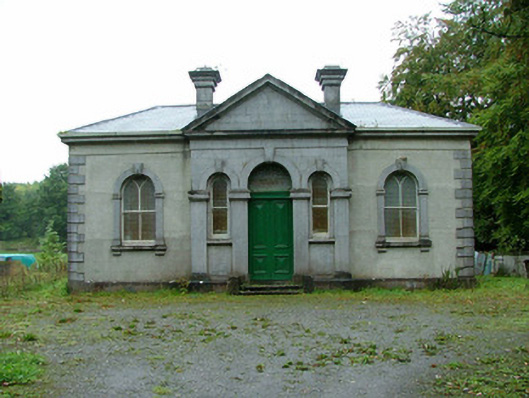 Clara Society of Friends' Meeting Housemeeting house · 325 yd
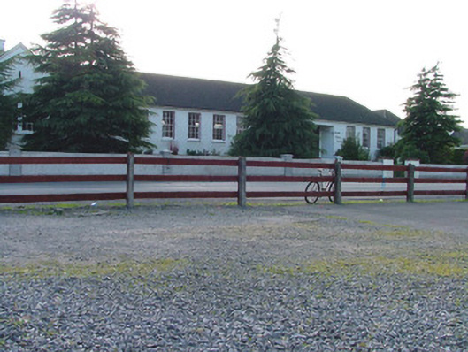 Árd Scoil Chiaráin Naofaschool · 353 yd
 Kilcromeen Grave yd.Children's burial ground · 552 yd
 Chapel HillForest · 936 yd
 Kilcoursey Castle (in Ruins)Bawn · 982 yd
 Termon Cross (Site of)Cross, Termon cross · 1240 yd
 Clara Bog BoardwalkWalking route · 1.1 mi
 ToberaskeenSpring · 2.3 mi
 Inchaloon IslandIslet · 2.6 mi
 Kilmalady HillMountain / peak · 2.6 mi
 Castle (in ruins)Castle, tower house · 2.8 mi
 Trumpet HillMountain / peak · 3.2 mi