What is recorded here
Rathmoran in County Fermanagh held a castle and enclosure whose age still evades certainty. The land may have worn human hands since post-medieval times, yet the exact chamber, occupant and purpose have faded from memory. Stone and soil keep their own counsel there, waiting for a willing watcher to remember what they held.
The official Northern Ireland record identifies this as CASTLE & ENCLOSURE. Recorded period: POST-MED; UNCERTAIN. The official map point was placed at the centre of the recorded archaeological site from the source map reference.
The monument record does not grant public access. Check the route and ask the landowner before entering private land.
- What survives
- Recorded monument
Places near here
 Rathmoran CastleRuins · 25 yd
 Rateen National SchoolRuins · 643 yd
 ENCLOSURE in CoolnasillaghENCLOSURE · 705 yd
 GolanRuins · 894 yd
 FORTIFICATION in TattycamFORTIFICATION · 1031 yd
 Tattycam ForestForest · 1085 yd
 Coolnasillagh ForestForest · 1189 yd
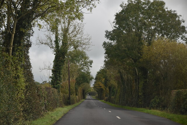 Mount DarbyMountain / peak · 1.6 mi
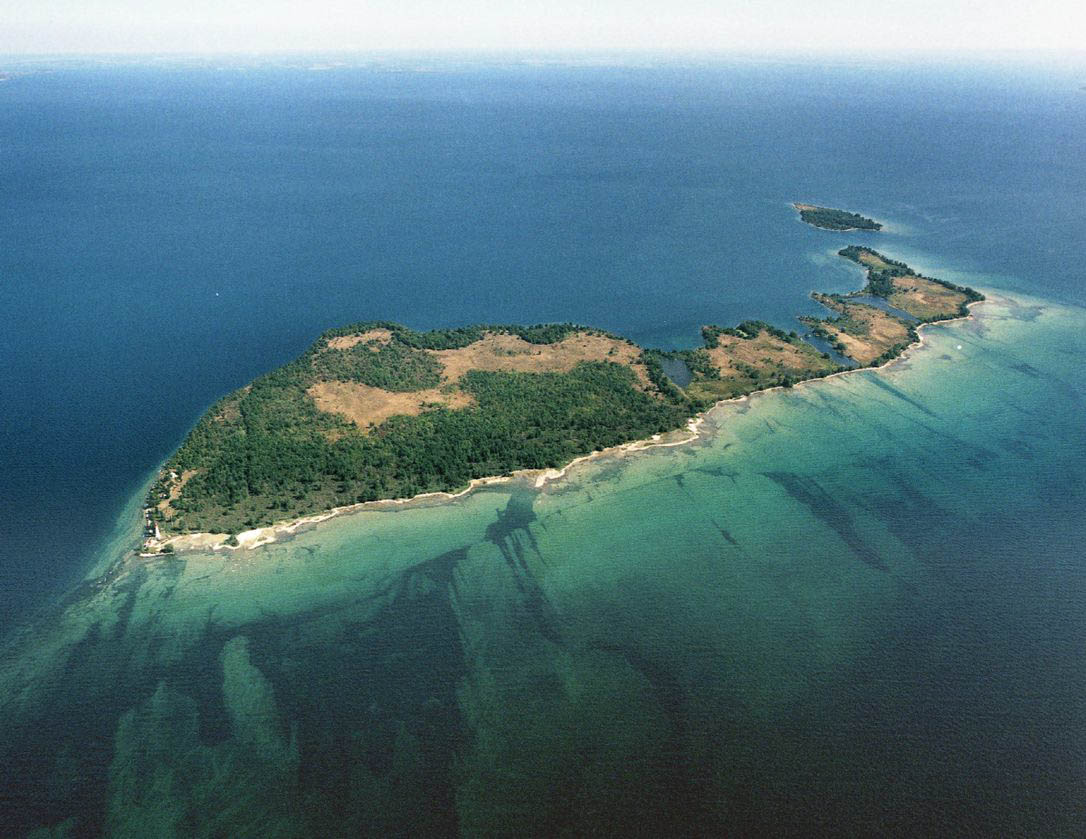 Duck IslandIslet · 1.9 mi
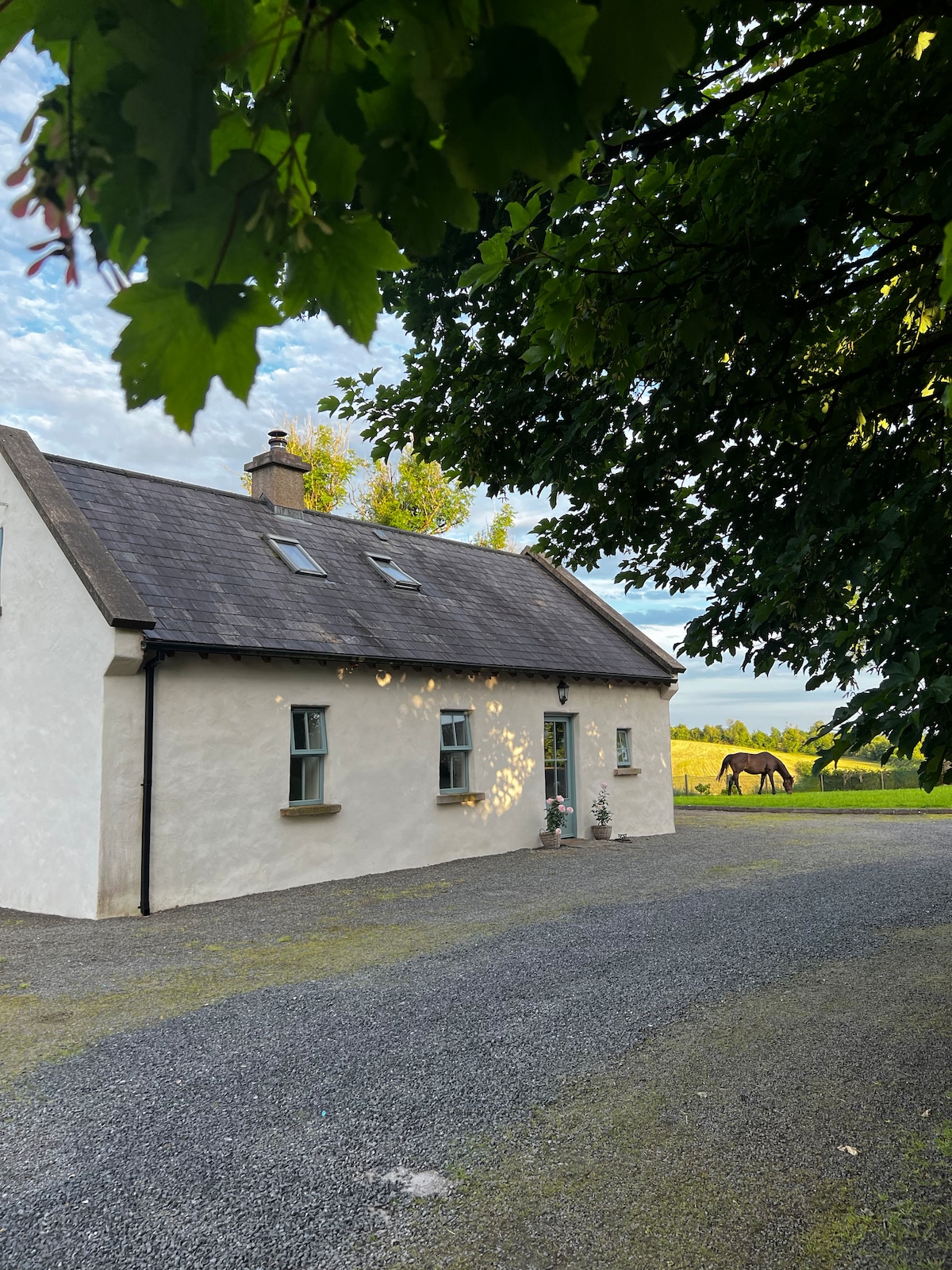 PLANTATION HOUSE & BAWN (unlocated) in LisnashillidaPLANTATION HOUSE & BAWN (unlocated) · 2.5 mi
 EschleaghMountain / peak · 3.2 mi
 Battle of Newtownbutlerbattle · 3.2 mi