
What is recorded here
Murlough Upper once held a castle now destroyed, leaving behind only the memory of stones that stood during the late medieval period. The building has vanished completely, yet the empty ground still carries the shape of what was lost. Perhaps rooms warmed by fire, doors opened for visitors, and windows watched the land before destruction took them. What remains is absence, but absence can still speak when someone listens.
The official Northern Ireland record identifies this as CASTLE (destroyed). Recorded period: LATE-MED. The official map point was placed at the centre of the recorded archaeological site from the source map reference.
The monument record does not grant public access. Check the route and ask the landowner before entering private land.
- What survives
- Recorded monument
Places near here
 Newcastle Tourist Information CentreVisitor information · 77 yd
 Beach AvenueWalking route · 232 yd
 Donard Car ParkVisitor information · 461 yd
 Newcastle Presbyterian ChurchChurch · 470 yd
 Tower at former railway stationTower · 665 yd
 WWII PILLBOXWWII PILLBOX, DHP no.3 · 731 yd
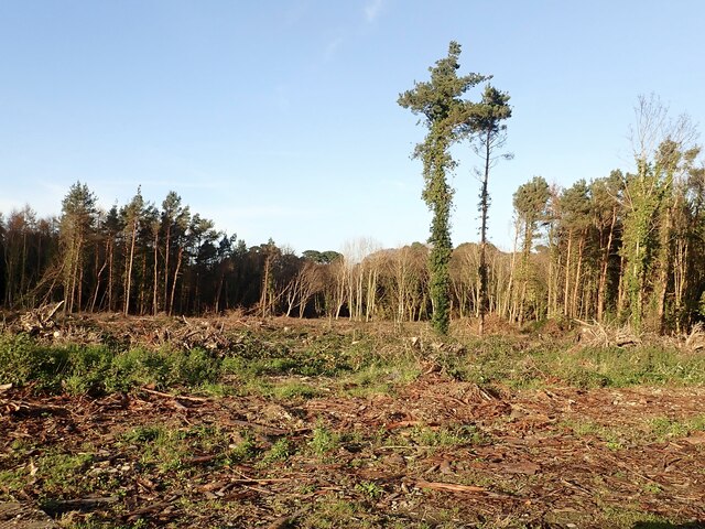 Tipperary WoodsForest · 979 yd
 Bath LaneWalking route · 1253 yd
 Donard ForestForest · 1708 yd
 DrinnahillyMountain / peak · 1759 yd
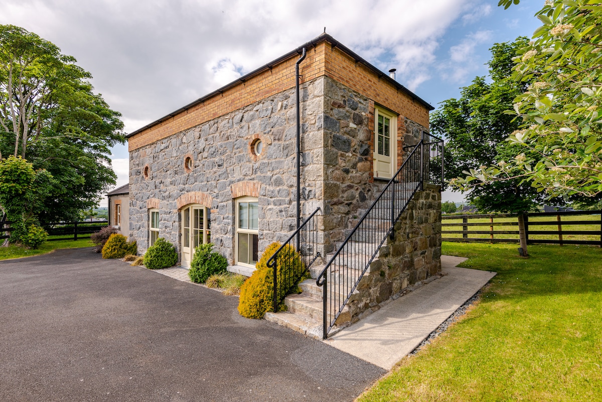 ENCLOSURE (destroyed) in CarnacavillENCLOSURE (destroyed) · 1.3 mi
 Black StairsWaterfall · 1.4 mi
Other information
Photo: Credit not shown in the picture search · Rights wording not checked; contact us if this picture should be removed