What is recorded here
Inside the demesne, a castle vanished before memory could hold its shape. Stone and timber may have broken into soil, but the land still carries the weight of what stood there. People may have lived, argued, loved or fled inside walls no longer visible. The absence does not erase the castle; it invites imagination to complete what time removed.
The official Northern Ireland record identifies this as CASTLE (destroyed): BALLINTOY CASTLE. Recorded period: UNCERTAIN. The official map point was placed at the centre of the recorded archaeological site from the source map reference.
Ballintoy Castle was built in the late 16th century by the MacQuillan family, a Gaelic Irish clan of the O’Neill dynasty, during the period of English expansion in Ulster. It is remembered for its strategic location on the Antrim coast and as a site associated with resistance during the Nine Years' War (1593–1603).
The monument record does not grant public access. Check the route and ask the landowner before entering private land.
- What survives
- Recorded monument
Places near here
 A.P. SITE: POSSIBLE ENCLOSURE in Ballintoy DemesneA.P. SITE: POSSIBLE ENCLOSURE · 320 yd
 Lime KilnArchaeological place · 580 yd
 Fullerton ArmsPublic House · 755 yd
 Sheep IslandIslet · 1571 yd
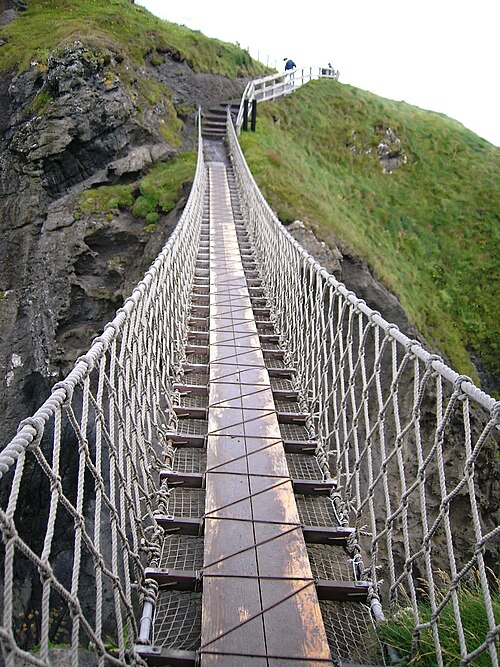 Carrick-a-rede Rope BridgeHeritage attraction · 1.4 mi
 Carrickarede IslandIslet · 1.4 mi
 White Park BayVisitor information · 1.7 mi
 Dunseverick FallsWaterfall · 2.8 mi
 DunsevrickCliff · 2.9 mi
 Kinbane CastleCastle · 3.1 mi
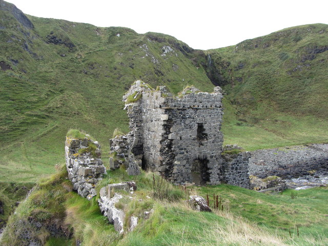 KINBANE CASTLE in CregganboyKINBANE CASTLE · 3.1 mi
 Dunseverick Parish ChurchChurch · 3.9 mi