What is recorded here
Cushlancarragh rises in Ballymacdoe as a medieval castle, its stones still marking the boundary between human ambition and northern weather. The name itself sounds like a cartwheel of consonants, fitting for a place where identity and memory collide. It is not a polished postcard but a living wound in the landscape, demanding attention rather than admiration.
The official Northern Ireland record identifies this as CASTLE: CUSHLANCARRAGH. Recorded period: MED/L.MED. The official map point was placed at the centre of the recorded archaeological site from the source map reference.
Cushlancairagh Castle in Ballymacdoe was built during the medieval period, likely by a local Gaelic noble family. It is remembered as a minor defensive structure reflecting the regional power dynamics of medieval Ireland.
The monument record does not grant public access. Check the route and ask the landowner before entering private land.
- What survives
- Recorded monument
Places near here
 Cushendall Presbyterian ChurchChurch · 536 yd
 The Glens of AntrimViewpoint · 742 yd
 Central BarPublic House · 779 yd
 LiDAR site- Circular enclosure in CushendallLiDAR site- Circular enclosure · 1155 yd
 ENCLOSURE in KnockenyENCLOSURE · 1348 yd
 Red Bay CastleArchaeological place · 1697 yd
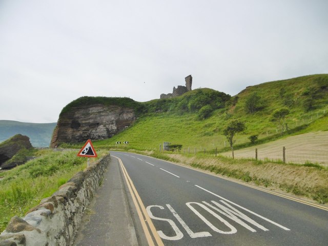 MOTTE; TWO BAILEYS; TOWER-HOUSE; CURTAIN WALL; possible site of PROMONTORY FORT: RED BAY CASTLE in Red BayMOTTE; TWO BAILEYS; TOWER-HOUSE; CURTAIN WALL; possible site of PROMONTORY FORT: RED BAY CASTLE · 1708 yd
 LurigethanMountain / peak · 1.7 mi
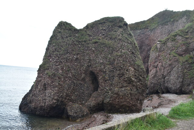 Caves of CushendunHeritage attraction · 3.0 mi
 TievebulliaghMountain / peak · 3.2 mi
 The White LadyNamed rock · 3.6 mi
 Ess-Na-Crub WaterfallWaterfall · 4.8 mi