What is recorded here
Castle Chester is recorded as a castle in County Antrim. Its open map record supplies this location and any linked names or public references.
Built by the de Lacys in the late 12th century, Castle Chester was an important Anglo-Norman stronghold in County Antrim, reflecting early medieval expansion into Ulster. It is remembered for its strategic role in the colonization and defense of the region during the medieval period.
Places near here
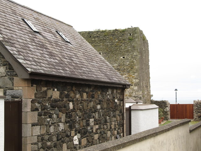 TOWER-HOUSE: CASTLE CHICHESTER in White HeadTOWER-HOUSE: CASTLE CHICHESTER · 1 yd
 Whitehead Railway StationRailway Station Structures · 282 yd
 St Patrick's Church of IrelandChurch · 320 yd
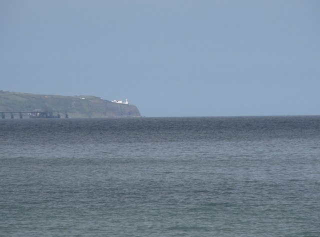 BlackheadHeadland · 1.1 mi
 Muldersleigh HillMountain / peak · 1.1 mi
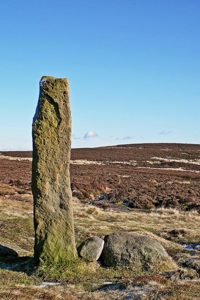 HENGE (?) or HENGIFORM ENCLOSURE (?) (Possible) in DobbslandHENGE (?) or HENGIFORM ENCLOSURE (?) (Possible) · 1.6 mi
 ENCLOSURE? (unlocated) in BentraENCLOSURE? (unlocated) · 1.6 mi
 FORTIFICATIONFORTIFICATION, BAWN · 2.0 mi
 POST-MED CHURCH; MEDIEVAL PARISH CHURCH; GRAVEYARD: TEMPLECORRAN CHURCH or TEMPLE-I-CORRAN or LISLAYNAN in Forthill (ballycarry)POST-MED CHURCH; MEDIEVAL PARISH CHURCH; GRAVEYARD: TEMPLECORRAN CHURCH or TEMPLE-I-CORRAN or LISLAYNAN · 2.0 mi
 the gobbins pathHeritage attraction · 3.2 mi
 Otter CaveCave · 3.7 mi
 Andrew Jackson Cottage and US Rangers CentreHeritage attraction · 3.7 mi