What is recorded here
Castle Ballydavid was a tower house belonging to James Earl of Ormond in 1640, but by the Civil Survey of 1654-6 only the walls of a stone house remained on the low rise. Destruction stripped most of the structure, leaving a small portion of the north wall to be swallowed by the outhouses of nineteenth-century Ballydavid House. One ogee-headed limestone window still protrudes from that wall, pointing toward the room, guard post or domestic space lost inside the ruin.
Situated on a low rise of ground in undulating countryside. Described in the Civil Survey of 1654-6 as the 'walls of a stone house' (Simington 1931, vol. 1, 48). James Earl of Ormond is listed as proprietor in 1640 (ibid.). Only a small portion of the N wall of a destroyed tower house survives, now incorporated into the outhouses of nineteenth-century Ballydavid House. A single-light, ogee-headed limestone window on the external face of the N wall at first-floor level is the only architectural feature visible.
The above description is derived from 'The Archaeological Inventory of County Tipperary. Vol. 1 - North Tipperary' compiled by Jean Farrelly and Caimin O'Brien (Dublin: Stationery Office, 2002). In certain instances the entries have been revised and updated in the light of recent research.
Date of upload/revision: 22 September 2008
James, Earl of Ormond, held Castle Ballydavid in 1640; it is remembered from the Civil Survey of 1654-6, which noted its remains as "the walls of a stone house," indicating its status as a notable structure in the region during the 17th century.
The monument record does not grant public access. Check the route and ask the landowner before entering private land.
- What survives
- Recorded monument
Places near here
 Ballydavid CastleCastle · 3 yd
 Sweet ChestnutSweet Chestnut · 83 yd
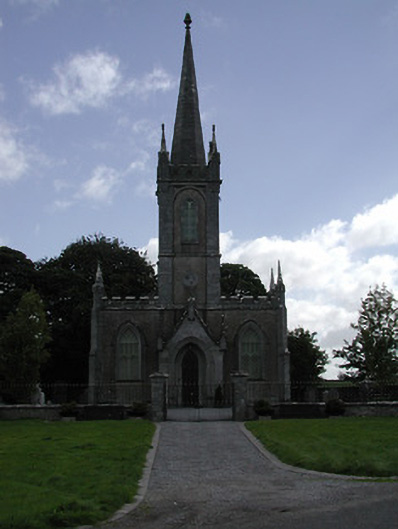 Saint Mary's Church (Twomileborris)church/chapel · 467 yd
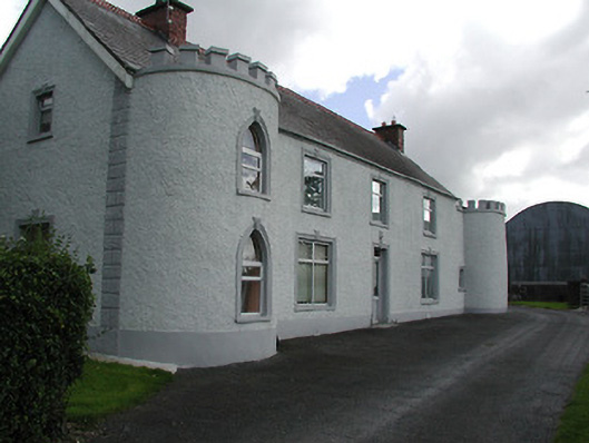 Castle Viewhouse · 682 yd
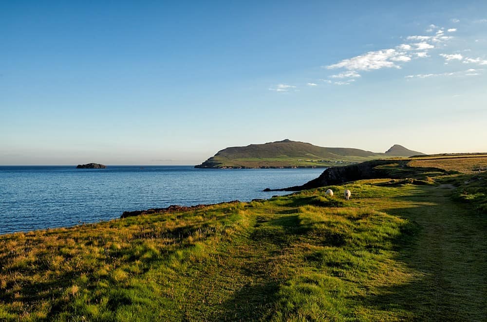 Castle (in Ruins)Castle, unclassified · 903 yd
 Ballydavid FortFairy fort / earthen ringfort · 975 yd
 Enclosure in Ballydavid (twomileborris Par.)Enclosure · 1542 yd
 European ashEuropean ash · 1.3 mi
 Horse and JockeyVisitor information · 2.2 mi
 Derrynaflan TrailHeritage attraction · 2.4 mi
 Gift Horse GalleryGallery · 2.4 mi
 Gobban Saer's GraveArchaeological place · 2.9 mi