What is recorded here
The official Northern Ireland record identifies this as CASHEL. Recorded period: E.CHRIST.. The official map point was placed at the centre of the recorded archaeological site from the source map reference.
The monument record does not grant public access. Check the route and ask the landowner before entering private land.
- What survives
- Recorded monument
Places near here
 Church of Ireland ChurchChurch · 516 yd
 1978 British Army Gazelle downingaviation accident · 723 yd
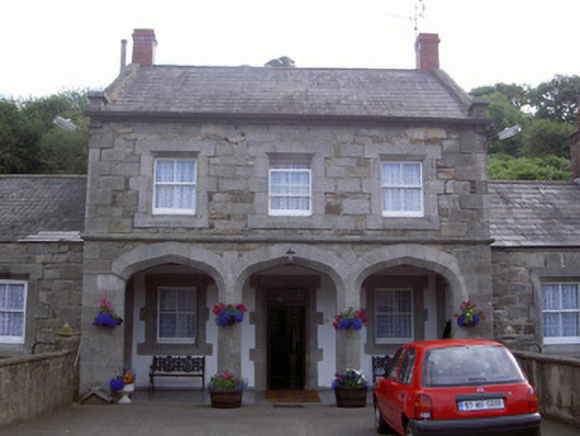 Ravensdale Housestables · 1274 yd
 Faughill MountainMountain / peak · 1454 yd
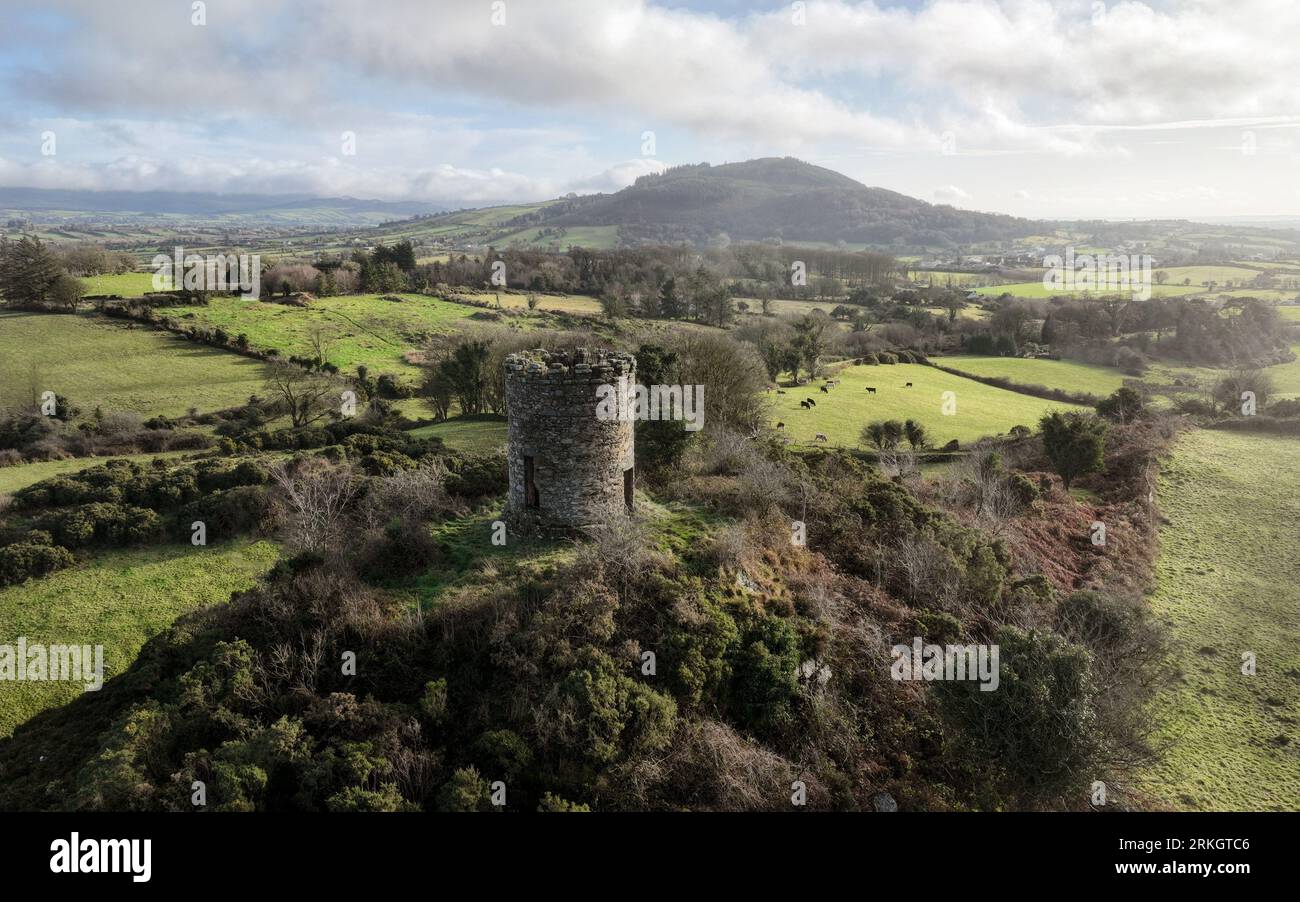 ENCLOSURE in Foughill OtraENCLOSURE · 1.1 mi
 Ravensdale LoopWalking route · 1.2 mi
 Ravensdale ForestForest · 1.2 mi
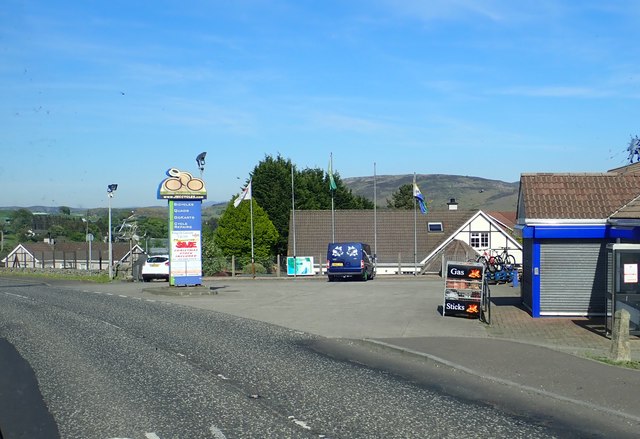 Ring of Gullion WayWalking route · 1.3 mi
 Feede MountainMountain / peak · 1.4 mi
 Kilnasggart inscribed stoneArchaeological place · 1.5 mi
 KILNASAGGART INSCRIBED PILLAR STONE & CEMETERY with 6 CROSS-CARVED STONES: CELL NA SACART in EdenappaKILNASAGGART INSCRIBED PILLAR STONE & CEMETERY with 6 CROSS-CARVED STONES: CELL NA SACART · 1.5 mi
 CASTLE & BAWN: MOYRY or MOIRY CASTLE in CarrickbroadCASTLE & BAWN: MOYRY or MOIRY CASTLE · 1.7 mi