
What is recorded here
In pasture, on a SE-facing slope and adjacent to a farmyard. A circular area (30m N-S; 28.5 E-W) defined by a stone wall which is incorporated into a field boundary along the S arc. Apart from a section along the NE arc, the wall (Wth 2.7m; H 1.8m) is well preserved and incorporates some large boulders. The wall has been removed at NE where a farm building has been constructed. There are three gaps in the S arc, including a possible entrance (Wth 2.6m). The interior is clear of overgrowth. According to O'Rorke (1878, 230), the nearby village of Glen is sometimes called 'Cashel' after a fort or cashel that stands nearby. Another cashel (SL020-185----) lies c. 120m to W.
The above description is derived from the published 'Archaeological Inventory of County Sligo' compiled by Ursula Egan, Elizabeth Byrne, Mary Sleeman with Sheila Ronan and Connie Murphy (Dublin Stationery Office, 2005).
Date of upload: 18 January 2008
A local fairy fort (ringfort/rath); wider significance not recorded.
This remains an important historical record, but the official description says the monument is no longer visible or has been destroyed. The monument record does not grant public access. Check the route and ask the landowner before entering private land.
- What survives
- No visible remains or recorded as destroyed
Places near here
 IndicatedFairy fort / stone ringfort · 159 yd
 Enclosure in Glen (leyny By.)Enclosure · 620 yd
 CroaghaunMountain / peak · 693 yd
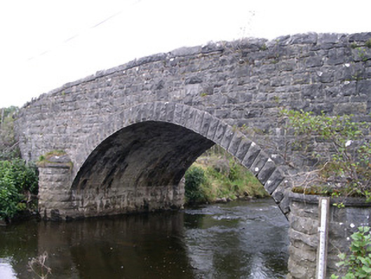 Billa Bridgebridge · 1319 yd
 SlievewardMountain / peak · 1.0 mi
 Moymlough Castle (in Ruins)Castle, tower house · 1.3 mi
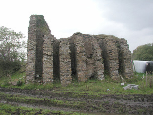 Coolaney Brick Workskiln · 1.3 mi
 RinnatalleenHeadland · 2.0 mi
 CastleCastle, unclassified · 2.3 mi
 Teeling MonumentMemorial · 2.6 mi
 Battle of Collooneybattle · 2.6 mi
 Union RockForest · 3.3 mi
Other information
Photo: Credit not shown in the picture search · Rights wording not checked; contact us if this picture should be removed