What is recorded here
Situated on a gentle S-facing slope. Built by the Viceroy, William Cary, after 1628, and taken by the Confederates in 1641, after which it was allowed to fall into ruin. All that survives is part of a possible wall (L 5m; H 3m) to the SW of St Brigid's church in the modern graveyard. The field in which it stood is still called the 'castle field'. Part of Carysfort medieval borough (WI034-010----). (Lewis 1837, vol. 1, 283).
The above description is derived from the published 'Archaeological Inventory of County Wicklow' (Dublin: Stationery Office, 1997). In certain instances the entries have been revised and updated in the light of recent research.
Date of upload/revision: 17 December 2008
The monument record does not grant public access. Check the route and ask the landowner before entering private land.
- What survives
- Recorded monument
Places near here
 Cross in Macreddin WestCross · 6 yd
 Church in Macreddin WestChurch · 403 yd
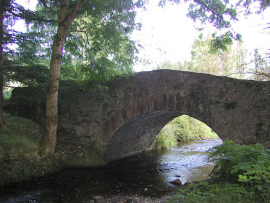 Macreddin Bridgebridge · 688 yd
 Font (present location) in UnknownFont (present location) · 1151 yd
 (Site of) CastleCastle, unclassified · 1.5 mi
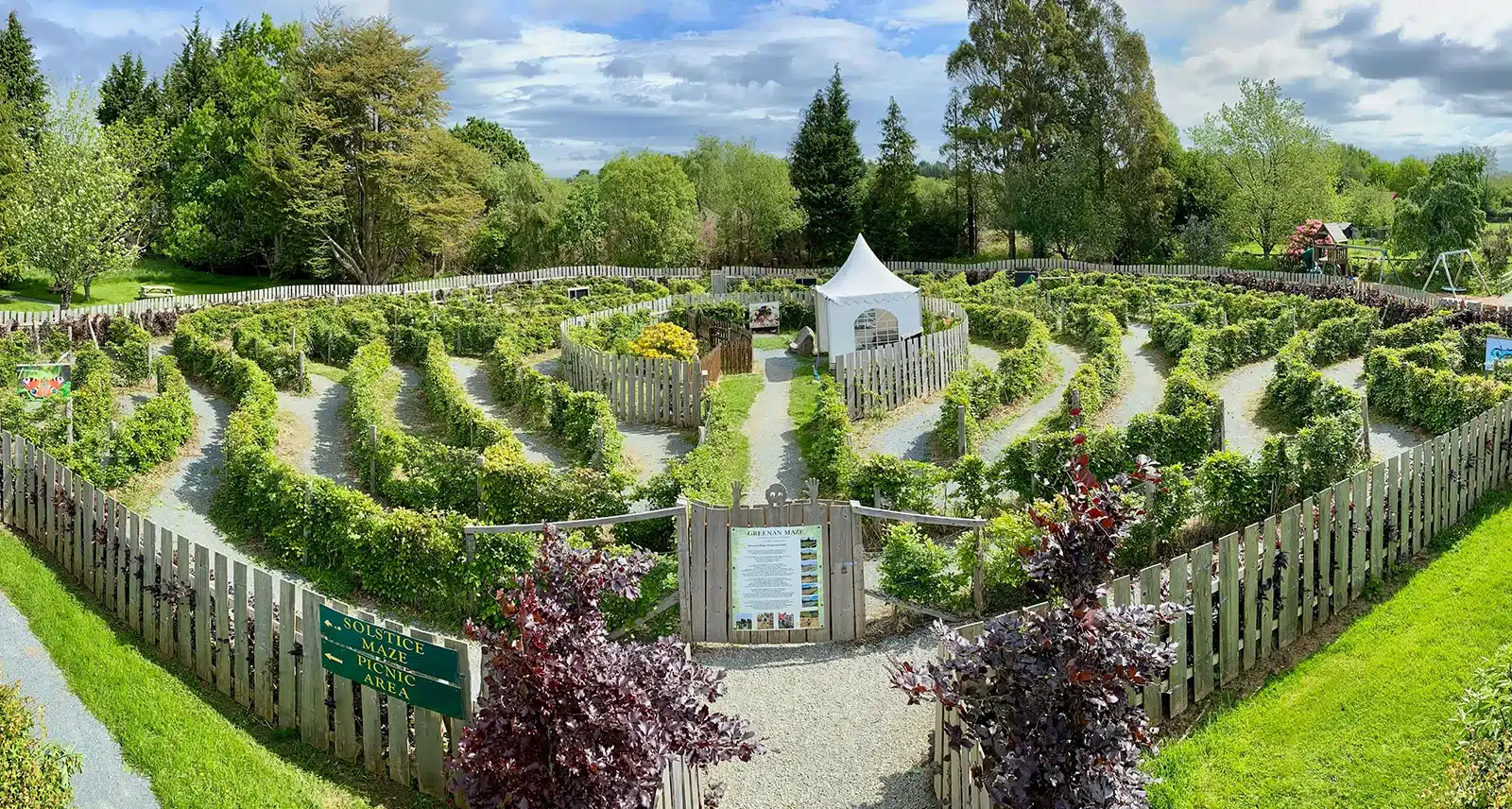 Greenan Farm Museum & MazeMuseum · 2.4 mi
 Ballinacor MountainMountain / peak · 2.4 mi
 Ballinagappoge MountainMountain / peak · 2.6 mi
 (Site of) Castle LaurenceCastle, unclassified · 2.6 mi
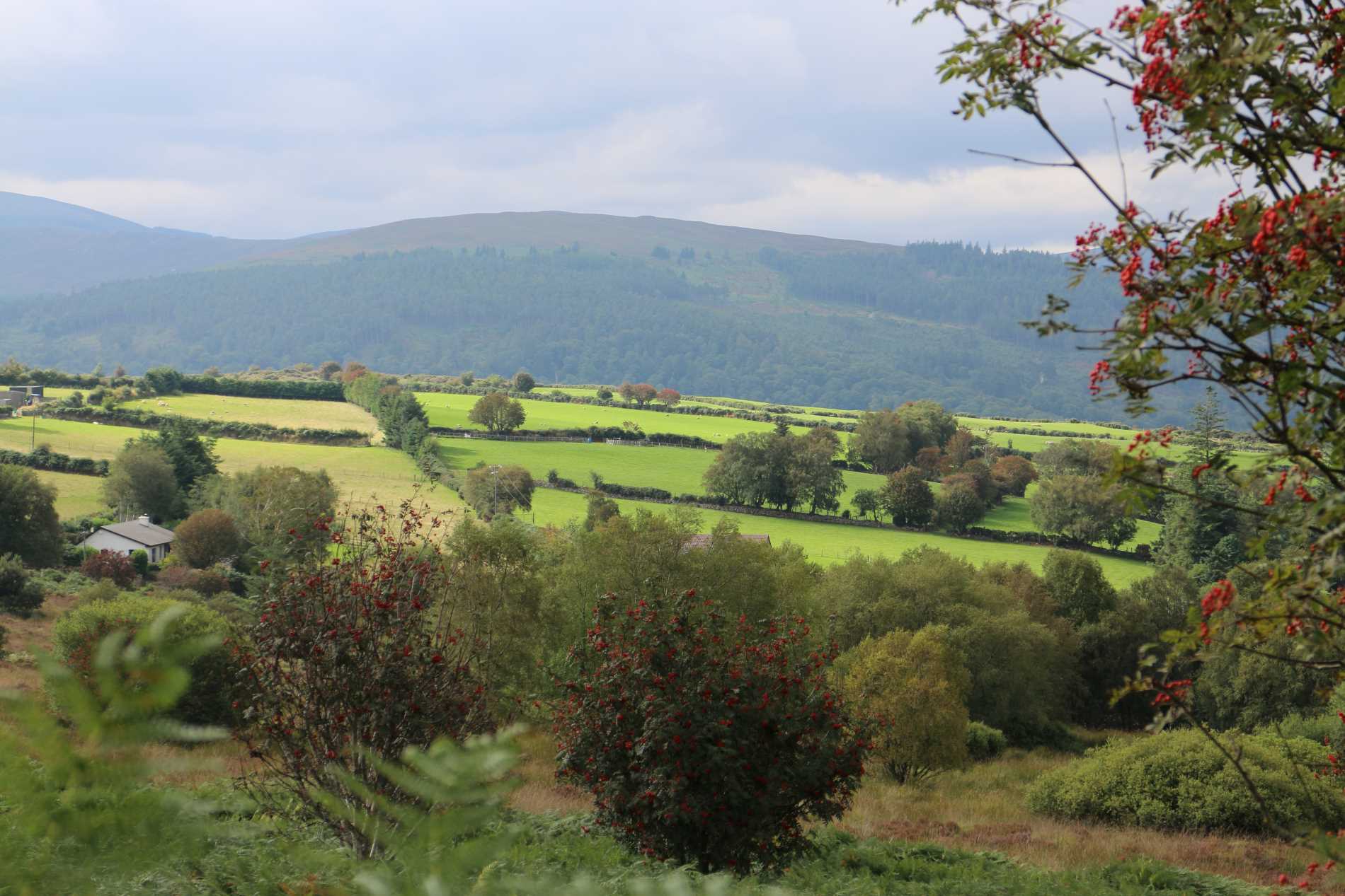 Roddenagh WoodForest · 2.8 mi
 Meeting of the WatersHeritage attraction · 4.2 mi
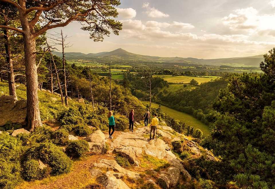 Ballyteige WoodForest · 4.4 mi