
What is recorded here
In NE corner of large graveyard. Ruins of heavily overgrown rectangular church (7.5m N-S; 31.3m E-W), built with roughly coursed limestone rubble on protruding plinth. Poorly preserved remains of N wall contains remains of at least two narrow lights in splayed embrasures; and lintelled niche near E end. S wall (H 3.4m) contains three narrow single-light windows; niche near E end; and blocked up arched feature at E end. Opening in W wall may have been doorway. Original E window altered for insertion of later window which has subsequently been blocked. Interior filled with gravestones.
The above description has been derived from D. Lavelle (compiler), An Archaeological Survey of Ballinrobe and District including Lough Mask and Lough Carra. Lough Mask and Lough Carra Tourist Development Association (1994), No. 606.
Date of upload: 14 November 2013
The monument record does not grant public access. Check the route and ask the landowner before entering private land.
- What survives
- Recorded monument
Places near here
 Ballinrobe Catholic Chapelchurch/chapel · 136 yd
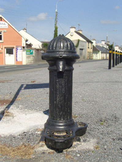 water pumpwater pump · 307 yd
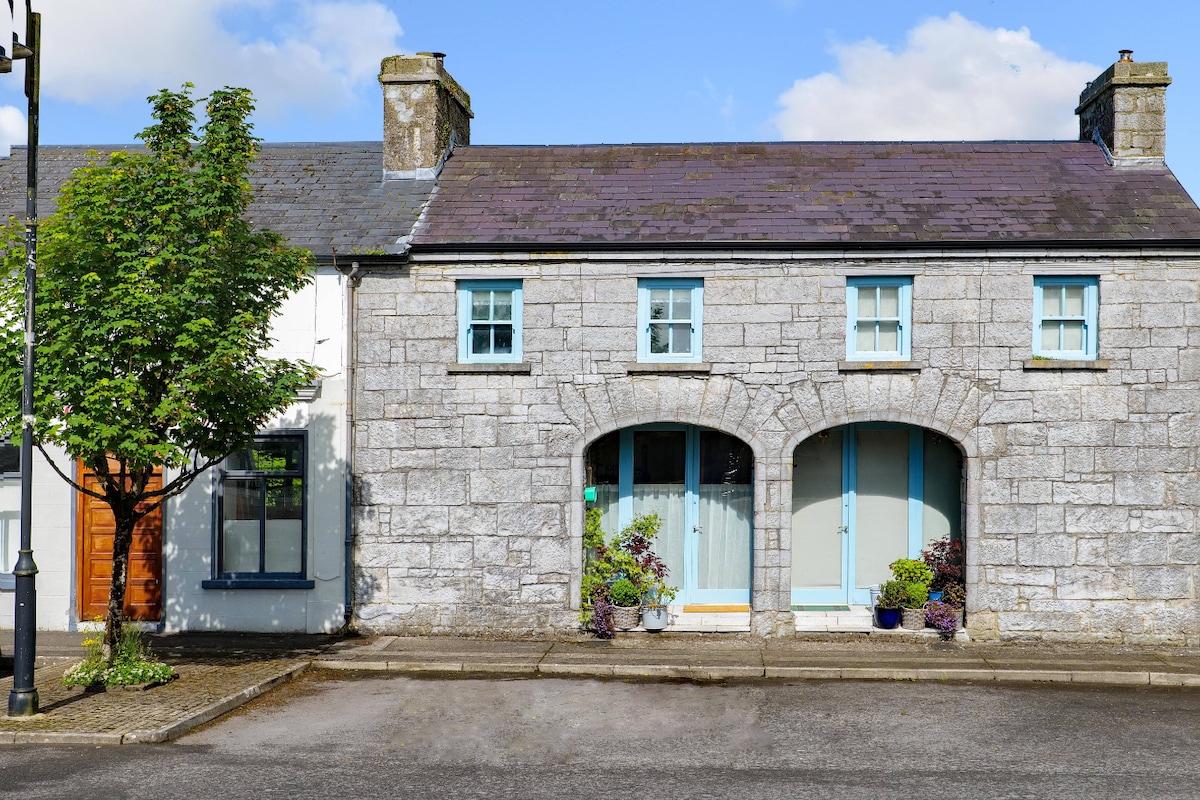 Enclosure in Friarsquarter WestEnclosure · 508 yd
 RathkellyFairy fort / earthen ringfort · 668 yd
 CastleCastle, unclassified · 891 yd
 European ashEuropean ash · 1204 yd
 LabbadermotCave · 2.0 mi
 Rat IslandIslet · 2.3 mi
 Castle Hag RockIslet · 2.7 mi
 Cloonagashel CastleCastle · 2.9 mi
 SycamoreSycamore · 3.0 mi
 Black RocksNamed rock · 4.5 mi
Other information
Photo: Credit not shown in the picture search · Rights wording not checked; contact us if this picture should be removed