What is recorded here
Carriggalla Fort is a high limestone knoll beside Lough Gur where local people celebrated Mass in a western crevice during Penal times. The rock stands above scrub and chasms, offering wide views toward the water and nearby church, while its hidden recess may have sheltered an altar from English guards. What began as a fort or cashel became a secret worship place, proving that ordinary stone can hold faith when law tries to erase it.
Situated on elevated rocky land with commanding views from E-S-W, higher ground to N. Good view of S shoreline of Lough Gur 300m to WNW. New Church (LI032-024001-) and graveyard (LI032-024002-) located 280m to the WNW with Ballynagallagh Nunnery (LI032-043002-) visible 690m to SW.
Large rock outcrop depicted on 1st ed. OS 6-inch map as a circular shaped enclosure annotated as 'Carriggalla Fort'. On the revised 1927 ed. OS 6-inch the name of the rock has been changed from 'Carrigalla Fort' to 'Carriganaffrin' meaning the 'Mass Rock'. Probably the remains of a stone fort or cashel that was reused as a mass rock by local people in penal times. Monument described by O'Kelly (1944, 28) as a 'high limestone rock knoll called Carriganaffrin on the OS map. It is said locally the Mass as celebrated in a crevice in its west side during Penal times'. In 1826 the following account was given; 'On the S. side of Lough Gur, is a very large and high rock full of chasms and hollows, called in Irish, the Mass Rock; which name it received from the circumstance of Mass being said in a hollow of this rock, during the Civil Wars of the 17th century, when its public celebration was prohibited by the English parliament' (Fitzgerald and McGregor 1826, 315). The top of the rock outcrop is covered in scrub vegetation and is not accessible, there is a small cave like recess on the SW face of the rock which may have served as a shelter for the altar.
Compiled by: Caimin O'Brien
Date of upload: 5 July 2018
The monument record does not grant public access. Check the route and ask the landowner before entering private land.
- What survives
- Recorded monument
Places near here
 RoadRoad, road/trackway · 290 yd
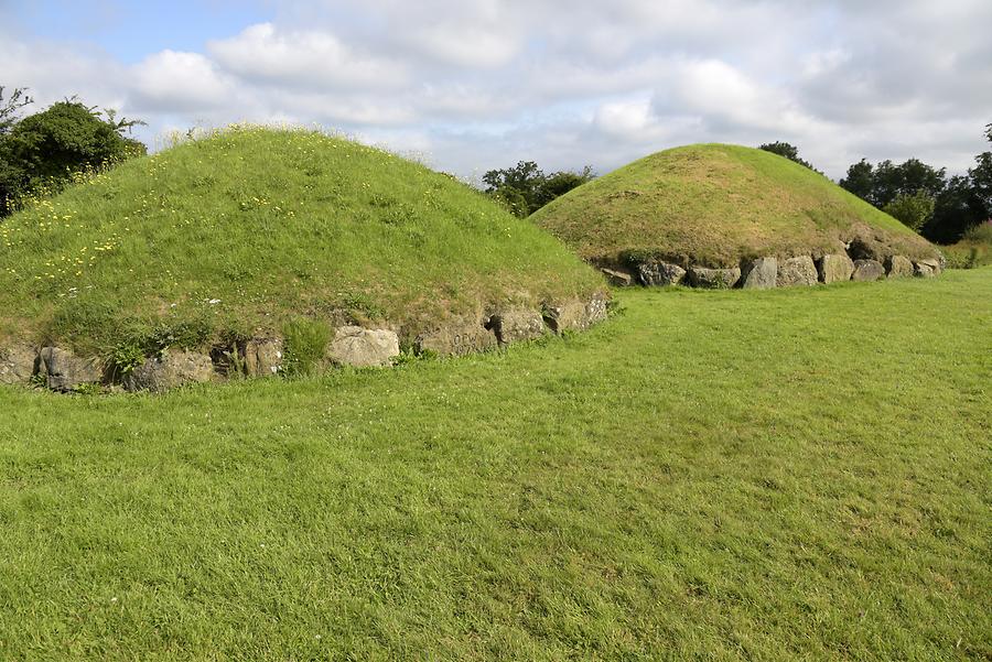 Megalithic structure in LoughgurMegalithic structure · 302 yd
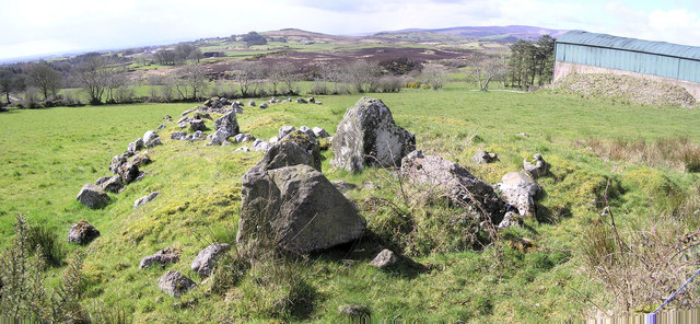 Grave YardGraveyard · 308 yd
 New Church (in ruins)Church · 331 yd
 Black Castle (in ruins)Castle, tower house · 635 yd
 Garret IslandCastle, unclassified · 1174 yd
 Pedunculate OakPedunculate Oak · 1316 yd
 Grange Stone CircleArchaeological place · 1462 yd
 Lough GurVisitor information · 1528 yd
 Lough Gur Heritage CentreVisitor information · 1642 yd
 The SpectaclesVisitor information · 1729 yd
 Glen BogForest · 1.4 mi