
What is recorded here
Carrigadoon is a castle perched on a thirty-metre rock outcrop near Liscarroll, its broken walls still standing above a sharp cliff edge. The shape suggests a motte-and-bailey, though no name has survived to explain who built it or why. Briars and ivy have swallowed the top, hiding the room where someone once watched the land below. What remains is enough to show that the cliff was never empty, even when memory failed.
Near base of cliff overlooking level ground to S and SE, c. 5.4km SE of Liscarroll. Prominent rock outcrop (diam. c. 30m; H. c. 8m) with level plateau (30m N-S; 35m E-W) to immediate S, suggestive of motte-and-bailey. Ground level falls off sharply to SW, S and SE of plateau. Lower courses of NW corner of stone-built structure visible atop outcrop on W side; N wall (T 1.38m; H 0.45m) and W wall (T 1.36m; H 0.6m) survive for a length of 7.5m and 9.55m respectively. Top of outcrop overgrown with briars, ivy and some bushes.
The above description is derived from the published 'Archaeological Inventory of County Cork. Volume 4: North Cork' (Dublin: Stationery Office, 2000). In certain instances the entries have been revised and updated in the light of recent research.
Date of upload/revision: 14 January 2009
The monument record does not grant public access. Check the route and ask the landowner before entering private land.
- What survives
- Recorded monument
Places near here
 Paircín Na CilleBurial ground · 523 yd
 Curraghmount Housecountry house · 604 yd
 St Bridgets WellHoly well · 609 yd
 Churchtown TrailsVisitor information · 940 yd
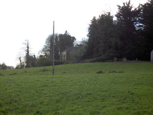 Tullig Housecountry house · 1001 yd
 Templeconnell Castle (in Ruins)Castle, tower house · 1.2 mi
 Lady's WellSpring · 1.5 mi
 Lisgriffin CastleCastle · 1.6 mi
 Buttevant Rail DisasterMemorial · 1.9 mi
 David HurleyMemorial · 2.5 mi
 SycamoreSycamore · 2.5 mi
 Battle of LiscarrollMajor battlefield · 3.4 mi
Other information
Photo: Credit not shown in the picture search · Rights wording not checked; contact us if this picture should be removed