What is recorded here
In rough pasture, in a hollow abutting the SW side of a motte and bailey (SL028-012----; SL028-014----). A rectangular graveyard (40m NW-SE; 25m NE-SW) enclosed by a drystone wall. It contains mainly 20th-century and a few 19th-century headstones, including six round-headed grave-markers with curved shoulders. It has recently been extended to the SE. On the 1838 OS 6-inch map it is indicated as a square area (c. 25m N-S; c. 25m E-W) separate from the motte and bailey.
The above description is derived from the published 'Archaeological Inventory of County Sligo' compiled by Ursula Egan, Elizabeth Byrne, Mary Sleeman with Sheila Ronan and Connie Murphy (Dublin Stationery Office, 2005).
Date of upload: 18 January 2008
The monument record does not grant public access. Check the route and ask the landowner before entering private land.
- What survives
- Recorded monument
Places near here
 CastleCastle, motte and bailey · 34 yd
 St. Jamess WellHoly well · 246 yd
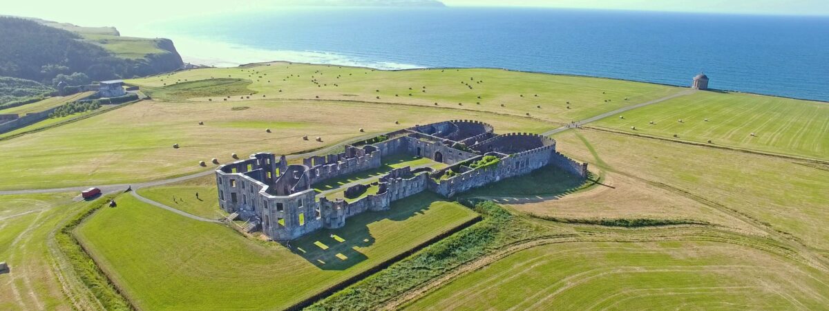 Enclosure in UmmeryroeEnclosure · 1038 yd
 Penitential station in CoollemoneenPenitential station · 1.2 mi
 Saint Columb's Catholic Churchchurch/chapel · 1.3 mi
 Carrane HillCliff · 2.0 mi
 Geevagh Prisoners 1908 MemorialMemorial · 2.5 mi
 Barroe NorthMountain / peak · 2.9 mi
 Ballindoon Castle (in Ruins)Castle, unclassified · 3.7 mi
 InishmoreIslet · 4.3 mi
 Tobar Ailbhe Holy WellMemorial · 4.4 mi
 Annaghgowla IslandIslet · 4.4 mi