What is recorded here
Carrick Children's Burial Ground is a subrectangular enclosure in County Donegal marked as a burial ground on old maps. A deliberate one-metre gap on the west side suggests people entered the stony space on purpose. The L-shaped stones in the south-west corner may have framed a chamber, altar or child-sized marker, though grass and collapse have hidden that meaning.
A subrectangular enclosure 14.5m E-W and 13.5m N-S bounded by a collapsed and grass-grown wall .5m high and 1m to 2.5m wide. It is marked as a 'Burial Ground' on the 2nd and 3rd editions of the OS 6-inch maps. A gap 1m wide on the W seems to be a deliberate entrance. Other gaps are clearly modern. The interior is level and stony but there is an L-shaped setting of stones in the SW corner forming a 4m square with the enclosing wall. The site is located on a low E-W ridge of rock in rough territory.
The above description was derived from the 'Archaeological Survey of County Donegal. A description of the field antiquities of the County from the Mesolithic Period to the 17th century.' Compiled by: Brian Lacey with Eamon Cody, Claire Cotter, Judy Cuppage, Noel Dunne, Vincent Hurley, Celie O'Rahilly, Paul Walsh and Seán Ó Nualláin (Lifford: Donegal County Council, 1983). In certain instances the entries have been revised and updated.
Date of upload: 22 September 2008
A subrectangular enclosure with a collapsed wall, likely a medieval or early modern children's burial ground; its significance lies in its cartographic recording and possible use for non-adult burials in a local or family context.
The monument record does not grant public access. Check the route and ask the landowner before entering private land.
- What survives
- Recorded monument
Places near here
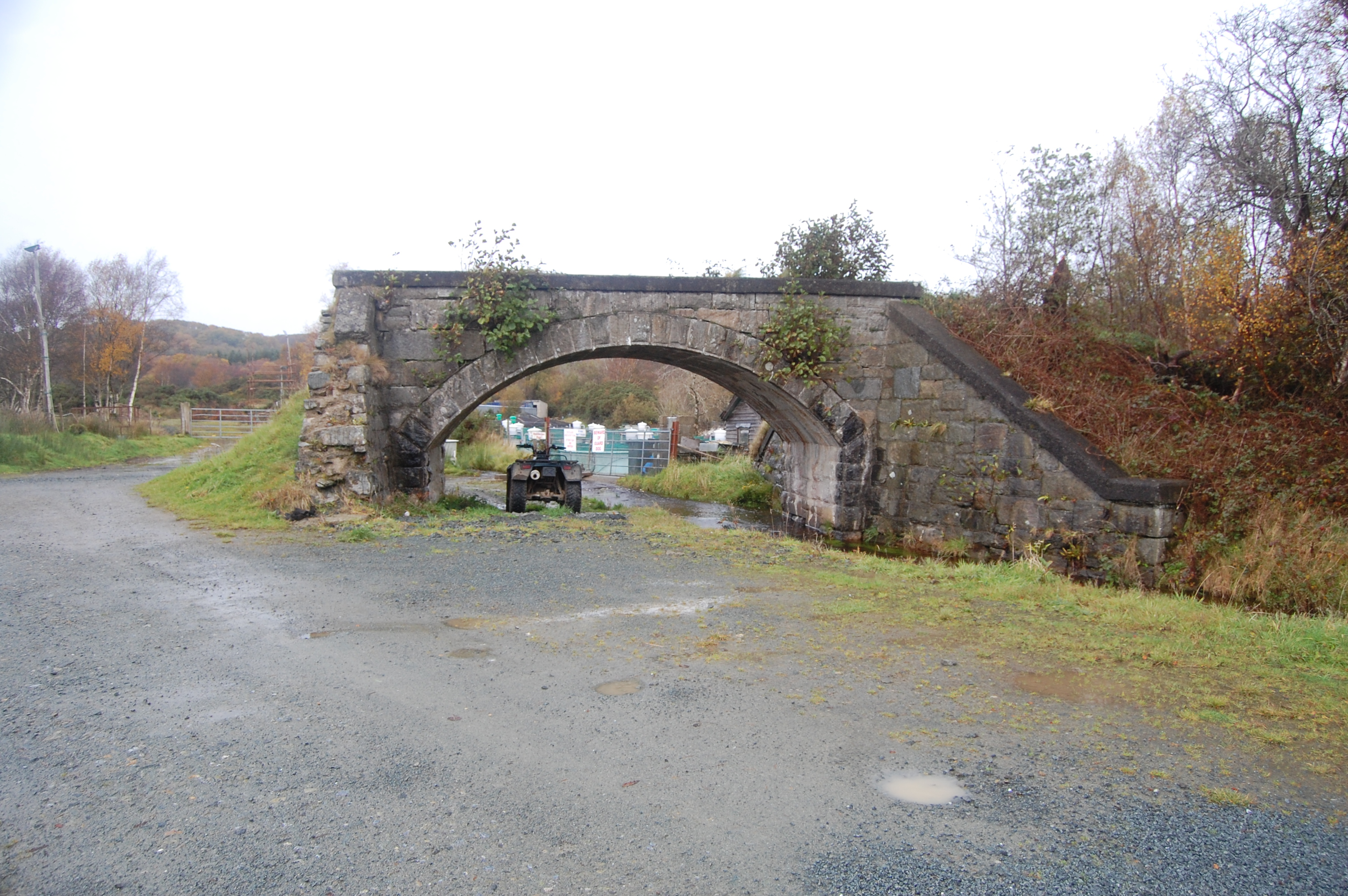 bridgebridge · 263 yd
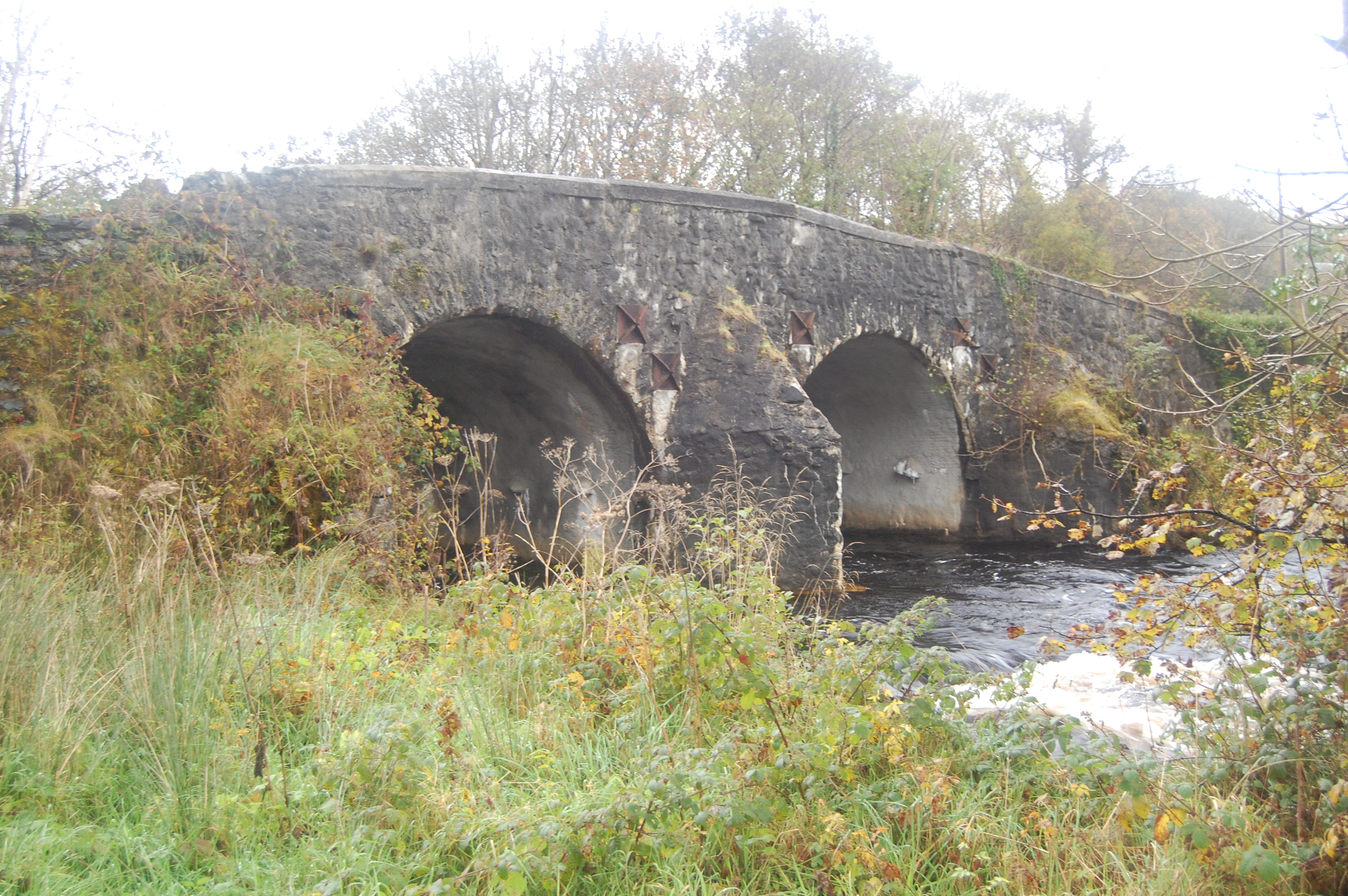 Barrack Bridgebridge · 269 yd
 TobernagloryHoly well · 1.1 mi
 Enclosure in Roshin (gartan Ed)Enclosure · 1.2 mi
 Stackarnagh Abbey GraveyardGraveyard · 1.8 mi
 Glebe House and GalleryHeritage attraction · 2.2 mi
 European BeechEuropean Beech · 2.2 mi
 Silver BirchSilver Birch · 2.5 mi
 Gregory HillMountain / peak · 2.7 mi
 Master Sword in StoneHeritage attraction · 3.8 mi
 Castle (Site of)Castle, unclassified · 4.2 mi
 Battle of Scarrifholisbattle · 4.7 mi